The villages of 1948
Memory
الذاكرة
More than four hundred Palestinian villages were depopulated in and after 1948. This page holds the 189 records we have written so far. The Atlas below plots 425 sourced coordinate records: 184 open into written village records and 241 remain open for research.
Drag to pan · scroll to zoom · click a point Or use the arrow keys to move over the country, plus and minus to zoom, and Enter to open the village at the centre.
The index
- 'Ajjurعَجُّور
- 'Akbaraعكبرة
- Abil al-Qamhآبل القمح
- Abu al-Fadl, Ramlaأبو الكسور
- Abu Kishkأبو كِشْك
- Abu Shushaأبو شوشة
- Abu Shushaأبو شوشة
- Abu Zurayqأبو زريق
- Ajanjulعجنجول
- Al-'Abbasiyyaالعَبّاسِيَّة
- Al-'Abisiyyaالعابسية
- Al-'Ulmaniyyaالعلمانية
- Al-'Urayfiyyaالعريفية
- Al-Ashrafiyyaالأشرفية
- Al-Barriyyaالبرية
- Al-Bassaالبصة
- Al-Batani al-Gharbiالبطاني الغربي
- Al-Batani al-Sharqiالبطاني الشرقي
- Al-Biraالبيرة، بيسان
- Al-Birwaالبروة
- Al-Burayj, Jerusalemالبريج، القدس
- Al-Burjالبرج
- Al-Butayhaالبطيحة، فلسطين
- Al-Butaymatالبطيمات
- Al-Buwayra, Khirbatخربة البُويرة
- Al-Buwayziyyaالبويزية
- Al-Dalhamiyyaالدلهمية
- Al-Damunالدامون
- Al-Dawayimaالدوايمة
- Al-Dawwaraالدوارة
- Al-Dirbashiyyaالدَّرباشية، فلسطين
- Al-Dirdaraالدَّردارة
- Al-Duhayriyya, Khirbatخربة الضُّهيرية
- Al-Dumunخربة الدامون
- Al-Falujaالفالوجة
- Al-Faturالفاتور
- Al-Ghabisiyyaالغابسية
- Al-Ghazzawiyyaالغزاوية
- Al-Ghubayya al-Fawqaالغبية الفوقا
- Al-Ghubayya al-Tahtaالغبية التحتا
- Al-Hadithaالحَدِيثَة
- Al-Hamidiyyaالحميدية، بيسان
- Al-Hamma, Tiberiasالحمة السورية
- Al-Hamra, Baysanالحمرا، بيسان
- Al-Hamra'الحمراء، فلسطين
- Al-Haram, Jaffaالحرم
- Al-Husayniyyaالحسينية، فلسطين
- Al-Imaraالعمارة، فلسطين
- Al-Ja'unaالجاعونة
- Al-Jaladiyyaالجَلَدية
- Al-Jalamaالجلمة
- Al-Jalama, Tulkarmالجلمة، طولكرم
- al-Jammamaالجمامة
- al-Jammasin al-Gharbiالجَمّاسِين الغربي
- al-Jammasin al-Sharqiالجَمّاسِين الشرقي
- Al-Jiyyaالجِيَّة
- Al-Juraالجُورَة
- Al-Jura, Jerusalemالجورة، القدس
- Al-Kabriالكابري
- Al-Kafraynالكفرين
- Al-Kasayir, Khirbatخربة الكساير
- Al-Khalasaالخلصة
- Al-Khalisaالخالصة
- Al-Khaymaالخيمة
- Al-Khayriyyaالخيرية
- Al-Khisas, Gazaخربة الخصاص
- Al-Khisasالخصاص
- Al-Khunayzirالخنيزر
- Al-Kunayyisaالكنيسة
- Khirbat al-Lawzخربة اللَوْز
- Al-Magharالمَغار
- Al-Majdalالمجدل، طبريا
- Al-Malkiyyaالمالكية
- Al-Manaraالمنارة، طبريا
- Al-Manshiyya (Acre)المَنْشِيَّة
- Al-Manshiyya, Safadالمنشية
- Al-Manshiyya, Tiberiasالمنشية
- Al-Manshiyya, Tulkarmالمنشية
- Al-Mansiالمنسي
- Al-Mansuraالمنصورة
- Al-Mansura, Khirbatخربة المنصورة
- Al-Mansura, Ramlaالمنصورة
- Al-Mansura, Safadالمنصورة، صفد
- Al-Mansura, Tiberiasالمنصورة، طبريا
- Al-Mas'udiyyaالمَسْعُودِيَّة
- Al-Masmiyya al-Kabiraالمَسْمِيَّة الكَبِيرَة
- Al-Masmiyya al-Saghiraالمسمية الصغيرة
- Al-Mazarالمزار، بيسان
- Al-Mazarالمزار
- Al-Mazar, Jeninالمزار
- Al-Mirrالمر
- Al-Muftakhiraالمفتخرة
- Al-Muharraqaالمحرقة
- Al-Mujaydilالمجيدل
- Al-Mukhayzinالمخيزن
- Al-Muntar, Khirbatخربة المنطار
- Al-Murassasالمرصص
- Al-Muwaylihالمويلح
- Al-Muzayri'aالمُزَيْرِعَة
- Al-Na'aniالنَعاني
- Al-Na'imaالناعمة
- Al-Nabi Rubinالنبي روبين
- Al-Nabi Yusha'النبي يوشع، فلسطين
- Al-Nahrالنهر
- Al-Nuqaybالنقيب، فلسطين
- Al-Qabuالقبو
- Al-Qastalالقسطل
- Al-Qubabالقُباب
- Al-Qubaybaالقُبَيْبَة
- Al-Qubayba, Jerusalemالقبيبة، القدس
- Al-Qubaybaالقُبَيْبَة
- Al-Qudayriyyaالقديرية
- Al-Ras al-Ahmarالرأس الأحمر، فلسطين
- Al-Rihaniyyaالريحانية
- Al-Safiriyyaالسافرية
- Al-Sakhinaالساخنة
- Al-Salihiyyaالصالحية
- Al-Samakiyyaالسمكية
- Al-Samiriyyaالسامرية
- Al-Sammu'iالسموعي
- Al-Samraالسمرا
- Al-Sanbariyyaالسنبرية
- Al-Sarafandالصرفند
- Al-Sawafir al-Gharbiyyaالسَوافِير الغربية
- Al-Sawafir al-Shamaliyyaالسوافير الشمالية
- Al-Sawafir al-Sharqiyyaالسَوافِير الشرقية
- Al-Sawalimaالسوالمة
- Al-Shajaraالشجرة، طبريا
- Al-Shawka al-Tahtaالشوكة التحتا
- Al-Shaykh Muwannisالشيخ مونّس
- Al-Shunaالشونة
- Al-Sindiyanaالسنديانة
- Al-Sumayriyyaالسميرية
- Al-Tall, Acreالتل، عكا
- Al-Tannur, Khirbatخربة التنور
- Al-Taqa, Khirbatخربة الطاقة
- Al-Tinaالتِينَة
- Al-Tiraالطيرة
- Al-Tira, Baysanالطيرة، بيسان
- Al-Tiraالطيرة
- Al-Walajaالولجة
- Al-Wayziyyaالويزية
- Al-Zahiriyya al-Tahtaالظاهرية التحتا
- Al-Zanghariyyaالزنغرية
- Al-Zuq al-Fawqaniالزوق الفوقاني
- Al-Zuq al-Tahtaniالزوق التحتاني
- 'Allarعَلاّر
- Almaعلما
- Amqaعمقا
- Ammuqaعموقه
- Aqirعاقِر
- Aqqurعقور
- Arab al-'Aridaعرب العريضة
- Arab al-Bawatiعرب البواطي
- Arab al-Fuqaraعرب الفقراء
- Arab al-Nufay'atعرب النفيعات
- Arab al-Safaعرب الصفا
- Arab al-Samniyyaعرب السمنية
- Arab al-Shamalinaعرب الشمالنة
- Arab al-Zubaydعرب الزبيد
- Arab Suqrirعرب صقرير
- Arab Zahrat al-Dumayriعرب ظهرة الضميري
- 'Artufعَرْتُوف
- Atlitعتليت، حيفا
- Awlamعولم
- Ayn al-Mansiعين المنسي
- Ayn Ghazalعين غزال
- Az-Zakariyyaقرية زكريا
- Al-Zeebالزيب
- Balad al-Shaykhبلد الشيخ
- Barbaraبربرة
- Barfiliyaبرفيلية
- Barqa, Gazaبرقة، غزة
- Barqusyaبركوسيا
- Barrat Qisaryaبرة قيسارية
- Bashshitبَشِّيت
- Baysamunبيسمون
- Bayt 'Affaبيت عفا
- Bayt 'Itabبَيْت عِطاب
- Beit Dajanبيت دجن
- Bayt Darrasبيت دراس
- Bayt Far, Khirbatخربة بيت فار
- Bayt Jibrinبيت جبرين
- Bayt Jirjaبَيْت جِرْجا
- Bayt Jizبيت جيز
- Bayt Mahsirبَيْت مَحْسِير
- Bayt Nabalaبيت نبالا
- Bayt Naqqubaبَيْت نَقُّوبا
- Bayt Nattifبيت نتِّيف
- Bayt Nubaبيت نوبا
- Bayt Shannaبيت شنة
- Bayt Susinبيت سوسين
- Bayt Thulبيت ثول
- Bayt Timaبَيْت طِيما
- Bayt Umm al-Maysبيت أم الميس
- Bayyarat Hannunبيارات حنون
- Bil'in, Gazaبلعين
- Bir Ma'inبئر ماعين
- Bir Salimبئر سالم
- Biriyyaبيريا
- Biyar 'Adasبيار عدس
- Buraykaبريكة
- Burayrبرير
- Caesarea Maritimaقيسارية ماريتيما
- Daliyat al-Rawha'دالية الروحاء
- Dallataدلاتة
- Daniyalدانيال
- Danna, Baysanدنه
- Dayr 'Amrدير عمرو
- Dayr Abanدَيْر آبان
- Dayr Abu Salamaدير أبو سلمة
- Deir al-Hawaدير الهوا
- Dayr al-Qassiدير القاسي
- Dayr al-Shaykhدَيْر الشَيْخ
- Dayr Ayyubدير أيوب
- Dayr Muhaysinدير محيسن
- Dayr Nakhkhasدَيْر نَخّاس
- Dayr Rafatدَيْر رافات
- Dayr Sunaydدير سنيد
- Dayr Tarifدَيْر طَرِيف
- Dayshumديشوم
- Dayr al-Dubbanدَيْر الدُبّان
- Deir Yassinدير ياسين
- Dimraدمرة
- Ayn al-Zaytunعين الزيتون
- Ein Karemعين كارم
- Fajjaفَجَّة
- Fara, Safadفارة
- Fardisyaفرديسيا
- Farradiyyaالفراضية
- Farwanaفرونه
- Fir'imفرعم
- Ghabat Kafr Surغابات كفر صور
- Ghabbatiyyaغباطية
- Ghurabaغرابة
- Ghuwayr Abu Shushaغوير أبو شوشة
- Hadathaحدثا
- Haifa el-Atikaحيفا العتيقة
- Hamaamوادي الحمام
- Hamamaحمامة
- Harrawiهراوي (صفد)
- Hattaحَتّا
- Hawshaهوشة
- Hiribyaهِرِبْيا
- Hittinحطّين
- Hujهُوج
- Hulayqatحليقات
- Huninهونين
- Ibdisعبدس
- Idnibbaإذنبة
- Ijlil al-Qibliyyaإجليل
- Ijlil al-Shamaliyyaإجليل الشمالية
- Ijzimإجزم
- Imwasعمواس
- Indurاندور
- Innabaعنابة
- Iqritإقرث
- 'Iraq al-Manshiyyaعِراق المَنْشِيَّة
- Iraq Suwaydanعراق سويدان
- Isdudإسدود
- Ishwa'إشْوَع
- 'Islinعِسْلِين
- Ism Allah, Khirbatخربة اسم الله
- Jaba'جبع
- Jabbulجَبُّول
- Jahulaجاحولا
- Jarash, Jerusalemجَرَش
- Jarishaجريشة
- Jilyaجِليا
- Jimzuجِمْزُو
- Jubb Yusufجُب يوسف
- Julisجولس
- Jusayrجُسَيْر
- Kabara, Haifaكبارة، حيفا
- Kafr 'Anaكَفْر عانَة
- Kafr 'Inanكفر عنان
- Kafr Bir'imكفر برعم
- Kafr Lamكفر لام
- Kafr Sabtكفر سبت
- Kafra, Baysanكفرة
- Karatiyyaكَرَتِيّا
- Karraza, Khirbatخربة كرازة
- Kaslaكَسْلا
- Kaufakhaكوفخة
- Kawkab al-Hawaكوكب الهوا
- Kawkabaكوكبا
- Kharrubaخروبة
- Khirbat al Manshiyyaخربة المجدل
- Khirbat al Zababidaخربة الزبابدة
- Khirbat al-'Umurخربة العُمُور
- Khirbat Al-Jawfaخربة الجوفة
- Khirbat Al-Manaraخربة المنارة
- Khirbat al-Sarkasخربة السركس
- Khirbat al-Sawamirالسوامير
- Khirbat al-Shunaخربة الشونة
- Khirbat al-Wa'ra al-Sawda'خربة الوعرة السوداء
- Khirbat Bayt Lidخربة بيت ليد
- Khirbat Idmithخربة ادمث
- Khirbat Iribbinخربة عربين
- Khirbat Jiddinجِدّين
- Khirbat Qumbazaخربة قمبازة
- Khirbat Sa'sa'خربة سعسع
- Khirbat Umm Burjأم برج
- Khirbat Zakariyyaخربة زكريا
- Khirbat Zalafaخربة زلفة
- Khirbet el-Suwwanaخربة الصوّانة
- Khiyam al-Walidخيام الوليد
- Khuldaخُلدة
- Kirad al-Baqqaraكراد البقارة
- Kirad al-Ghannamaكراد الغنّامة
- Kudnaكُدْنا
- Kuwaykatكويكات
- Al-Lajjunاللجّون
- Latrunاللطرون
- Lazzazaلزازة
- Lid, Khirbatخربة لِدّ العوادين
- Liftaلفتا
- Lubyaلوبيا
- Ma'lulمعلول
- Ma'dharمعذر
- Madahil
- Majdal Yabaمَجْدَل يابا
- Al-Malihaالمالِحَة
- Mallahaملاحة، فلسطين
- Mansurat al-Khaytمنصورة الخيط
- Marusماروس
- Masil al-Jizlمسيل الجزل
- Meironميرون
- Mi'arميعار
- Miskaمِسْكَة
- Mughallisمغلس
- Mughr al-Khaytمغر الخيط
- Al-Nabi Rubinالنبي رُوبِين
- Nabi Samwilالنبي صموئيل
- Naghnaghiyaالنغنغية
- Najdنجد
- Nasir al-Dinناصر الدين
- Ni'ilyaنِعِلْيا
- Nimrinنمرين، فلسطين
- Nitafنِطاف
- Nurisنورس
- Qabba'aقباعة
- Qadasقَدس
- Qadditaقديتا
- Qaluniyyaقالونيا
- Qannirقنير
- Qaqunقاقون
- Qastinaقسطينة
- Qatraقَطْرَة
- Qaytiyyaقيطية
- Qazazaقزازة
- Qulaقُولَة
- Qumyaقومية، بيسان
- Ra'naرعنا
- Ramehالرامَة، عكا
- Rantiyaرنتية
- Ras Abu 'Ammarراس أبو عَمّار
- Sa'sa'سعسع
- Sabalan, Safadسبلان
- Sabbarinصبارين
- Safsafصفصاف
- Sajadسجد
- Salamaسلمة
- Salbitسلبيت
- Salihaصلحا
- Samakhسمخ
- Saqiyaساقية
- Sar'aصَرْعَة
- Sarafand al-'Amarصَرَفَنْد العَمار
- Al-Sarafandسرافند الخراب
- Sarisسارِيس
- Saruraصرورة
- Satafصَطاف
- Saydunصيدون
- Saffuriyyaصفورية
- Sha'abشَعْب
- Shahmaشحمة
- Shiltaشلتة
- Simsimسمسم
- Sirinسيرين
- Subaصوبا
- Suflaسفلى
- Suhmataسحماتا
- Summilسميل
- Suruhسروح
- Tabsurتَبْصُر
- Tall al-Shawkتل الشوك
- Tall al-Turmusتَلّ التُرْمُس
- Tanturaالطنطورة
- Tarbikhaتربيخا
- Tarshihaترشيحا
- Taytabaطيطبا
- Tall al-Safiتلّ الصافي
- Tell Ubeidiyaالعبيدية
- Tulaylتليل، فلسطين
- Umm 'Ajraأم عجرة
- Umm al-Farajأم الفرج
- Umm ash Shaufأم الشوف
- Umm az-Zinatأم الزينات
- Umm Kalkhaأم كلخة
- Umm Khalidأم خالد
- Umm Sabunaخربة أم صابونة
- Wa'arat al-Sarrisوعرة السريس
- Wadi al-Hawarithوادي الحوارث
- Wadi Ara, Haifaوادي عارة
- Wadi Hunaynوادِي حُنَيْن
- Wadi Qabbaniوادي قباني
- Yajurياجور
- Yaquqياقوق
- Yasurياصُور
- Yazurيازور
- Yibnaيبنة
- Yublaيبلى
- Zab'aزبعة
- Zarnuqaزَرْنُوقَة
- Zawiyaخربة الزاوية
- Zawiya, Safadالزوية
- Zayta, Hebronزيتا
- Zikrinذكرين
- Zir'inزرعين
- الحمّة
- الحميدية
- الشيخ حلو
- جرديه عكا
- كفريتا
No village matches that. Try the Arabic spelling, or drop the “al-”.
Gaza
35 records'Iraq al-Manshiyya
عِراق المَنْشِيَّةDepopulated 1948
'Iraq al-Manshiyya, on the rolling ground where the coastal plain meets the Hebron foothills, held 2,010 people, three wells, two mosques and a shrine on the tell above it. Israeli forces failed to take it three times in 1948; it ended the war inside the Faluja pocket, and its people were intimidated into flight in the weeks after the armistice of 24 February 1949. A eucalyptus forest now covers the site.
Al-Faluja
الفالوجةDepopulated 1949
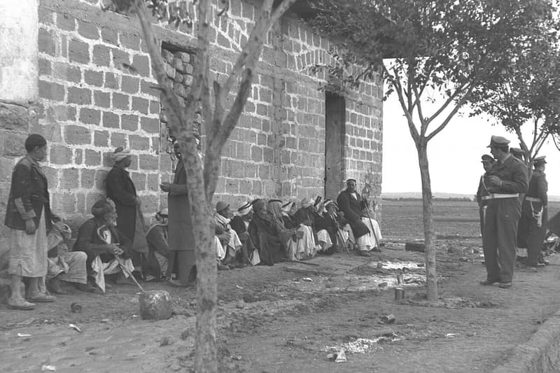
Al-Faluja was the anchor of the besieged 'Faluja pocket,' where Egyptian forces — among them a young Gamal Abdel Nasser — held out through the winter of 1948–49. Weeks after the Egyptian withdrawal under the armistice, the town's remaining civilians were driven out and its houses destroyed.
Al-Jiyya
الجِيَّةDepopulated 1948
Al-Jiyya — 'water collector,' for the wadis that flooded it, and circular in plan for the same reason — was a grain village of 1,230 known for its cheese, which it sold in Gaza and al-Majdal. It fell with al-Majdal on 4–5 November 1948 at the end of Operation Yoav, and its people probably fled or were expelled into the already overcrowded Gaza Strip. Every trace of the village has been obliterated.
Al-Jura
الجُورَةDepopulated 1948
Al-Jura — Jurat Asqalan — stood a kilometer from the sea five kilometers west of al-Majdal, one of the main fishing centers in Palestine and the summer resort of al-Majdal, with an annual spring mawsim that drew the whole district. It was almost certainly taken with al-Majdal on 4–5 November 1948 at the end of Operation Yoav, after weeks of aerial bombardment. Ashkelon was built on its land; one village house was spared.
Al-Majdal
المجدلDepopulated 1950
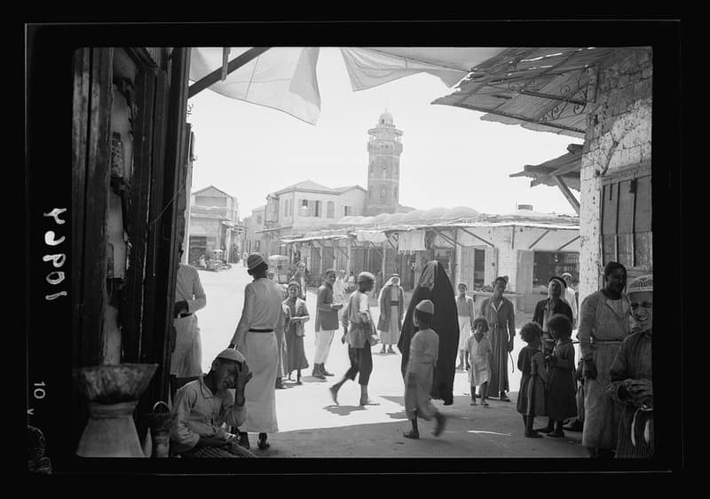
Al-Majdal (Majdal Asqalan) was a market town of some ten thousand people, famed for its weaving, on the coastal plain north of Gaza. Captured in November 1948, its remaining residents were held under military rule and finally expelled to Gaza in 1950; the town became the Israeli city of Ashkelon's Migdal quarter.
Al-Masmiyya al-Kabira
المَسْمِيَّة الكَبِيرَةDepopulated 1948
Al-Masmiyya al-Kabira stood at the junction of the roads to al-Majdal, Ramla and Jerusalem, a village of 2,520 with two mosques, two schools, a clinic and a Thursday market that drew the whole district. It fell in July 1948 during Operation An-Far, in what the Israeli official history calls clearing operations in the brigade's rear. Both schools still stand — the girls' school deserted, the boys' school an Israeli army installation.
Al-Masmiyya al-Saghira
المسمية الصغيرةDepopulated 1948
A village on the southern coastal plain 42 kilometers northeast of Gaza, founded in the second half of the nineteenth century by the al-Hurani clan of neighboring al-Masmiyya al-Kabira and home to some 530 people by the British survey of 1945. It was depopulated in July 1948 during Giv'ati Brigade operations between the two truces.
Al-Muharraqa
المحرقةDepopulated 1948
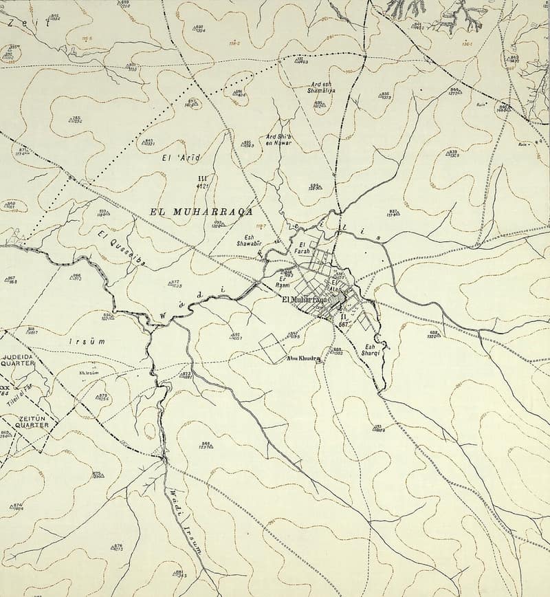
Al-Muharraqa was a small barley-growing village east of Gaza whose lands had been waqf endowments for Jerusalem's Dome of the Rock. Raided with Kaufakha in late May 1948, its people were driven out, and in mid-August — during the second truce — Israeli forces mined and destroyed the village.
Al-Sawafir al-Gharbiyya
السَوافِير الغربيةDepopulated 1948
Al-Sawafir al-Gharbiyya was the western of three villages of the same name that stood together in a right triangle on the coastal plain, sharing one school between them. Israeli sources put its fall in the early stages of Operation Barak in May 1948; Gamal Abdel Nasser, then a junior officer nearby, dated it a month later and blamed the Egyptian command for letting empty villages be taken. Every house is gone; the old village road is still visible.
Al-Sawafir al-Shamaliyya
السوافير الشماليةDepopulated 1948
The northernmost of the three Sawafir villages on the coastal plain, 33 kilometers northeast of Gaza, with a population the British government's April 1945 survey estimated at 680, all Muslims. It was occupied and depopulated during Operation Barak in May 1948; the reached sources give occupation dates ranging from 11 to 18 May.
Al-Sawafir al-Sharqiyya
السَوافِير الشرقيةDepopulated 1948
Al-Sawafir al-Sharqiyya, the eastern of three neighbouring Sawafir villages, had 970 residents and 13,831 dunums in 1944/45. Israeli-derived accounts date its occupation by the Giv'ati Brigade to 18 May 1948; Gamal Abdel Nasser's account instead places it around 25 June. A site survey published in 1992 found no village houses and recorded new buildings where the mosque had stood, but the fetched sources provide no later dated survey.
Barbara
بربرةDepopulated 1948
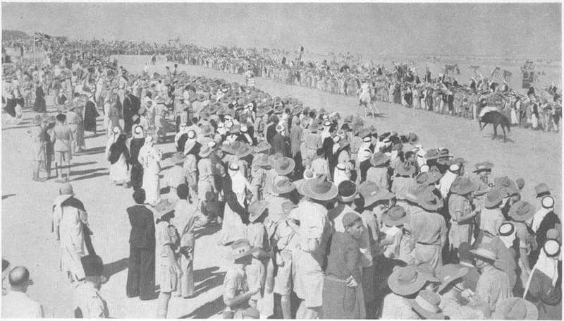
Barbara, a grape-growing village in the coastal dunes south of Ascalon, kept a mosque holding the tomb of a fourteenth-century sage and was famed for its fruit and the long rugs woven by its women. It endured months of skirmishes before falling in the closing days of Operation Yoav in November 1948; rubble and old streets remain.
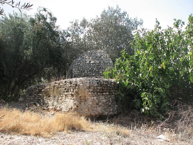
Bayt Darras
بيت دراسDepopulated 1948
Bayt Darras was a farming town northeast of Gaza, defended by Sudanese troops and local militiamen until the Givati Brigade overran it in May 1948. Its people fled south into the Gaza Strip, where their descendants live in refugee camps to this day.
Bayt Jirja
بَيْت جِرْجاDepopulated 1948
Bayt Jirja, fifteen and a half kilometres northeast of Gaza, had 940 residents in 1944/45. Its occupation date is not settled: cited records give 30 October, 1 November, or 4–5 November 1948 while also allowing that it may have occurred several days earlier. A 1992 survey recorded rubble, old streets and one standing house; the sources also disagree over whether three nearby settlements count as being on village land.
Bayt Tima
بَيْت طِيماDepopulated 1948
Bayt Tima, twenty-one kilometers from Gaza, held 1,060 people and shared its school with Kawkaba and Hulayqat. Its defenders drove off a Zionist infiltration in February 1948 and it stayed in Arab hands through both truces; aerial and artillery bombardment in mid-October emptied much of it, and the Giv'ati Brigade took it on 18–19 October during Operation Yoav. No Israeli settlement stands on its land; sycamore and carob grow around the rubble.
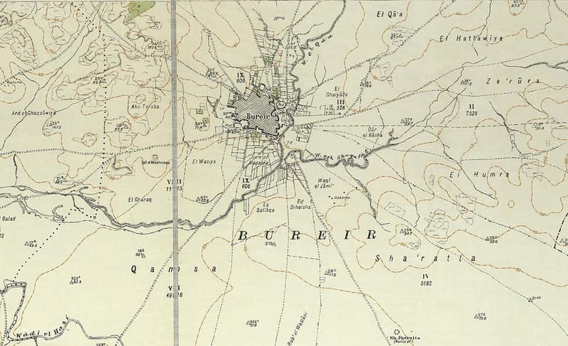
Burayr
بريرDepopulated 1948
Burayr, one of the largest grain-growing villages of the Gaza coast, twice drove off attackers in early 1948 before the Palmach's Negev Brigade seized it in a single night in May, days before the Mandate ended. Five Israeli settlements were planted on its lands; scattered cactuses and the trace of its streets mark the site.
Dayr Sunayd
دير سنيدDepopulated 1948
Dayr Sunayd stood beside the coastal road and railway twelve kilometers northeast of Gaza. Bombed during Operation Yoav, it was probably occupied in late October or early November 1948; the sources disagree on the exact date.
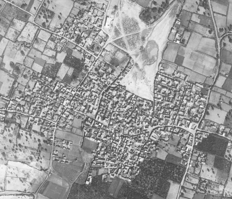
Hamama
حمامةDepopulated 1948
Hamama — 'dove' in Arabic — was one of the largest villages of the Gaza district, over five thousand people spread in a star pattern along the roads north of Gaza. Harassed from neighboring Nitzanim through early 1948 and swollen with refugees, it was occupied in late October 1948 during Operation Yoav; no trace of its houses remains.
Hatta
حَتّاDepopulated 1948
Hatta was a rain-fed farming village thirty-one kilometres northeast of Gaza. The 1944/45 record counted 970 people and accounted for all 5,305 dunums of village land, 5,108 of them planted in cereals. The sources agree that the Giv'ati Brigade occupied Hatta during the July 1948 Ten Days and record its depopulation, but give 14–15, 17, or 18 July for the capture; the surviving site description dates to 1992, not the present.
Hiribya
هِرِبْياDepopulated 1948
Hiribya — the Crusaders' Forbie, Yaqut's Firbiya — stood among the sand dunes fourteen kilometers north of Gaza, an oasis of citrus, grapes, bananas and sugar cane, and the site of a battle in 1244 that historians rank second only to Hittin. A planned attack during Operation Yoav was called off when a large Egyptian force was found quartered there; the village probably fell in early November 1948. The mosque, now a warehouse, and one house are all that survive.
Huj
هُوجDepopulated 1948
Huj, on the northern edge of the Negev, was founded in the early nineteenth century when the governor of Gaza gave the land away free and built a police post to draw settlers to it. Many Zionist officials counted the village friendly; the Negev Brigade ordered its people out on 31 May 1948 all the same, and Benny Morris records that they were expelled westward and their houses looted and blown up. Their appeal to return that September was refused.
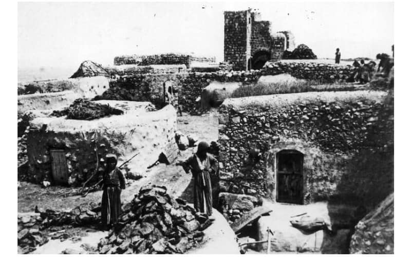
Hulayqat
حليقاتDepopulated 1948
Hulayqat was a small village northeast of Gaza, taken in May 1948, retaken by the Egyptian army in July, and finally captured a second time in October during Operation Yoav. Its ruin, partly forested with sycamore and Christ's-thorn, lies in the corridor where the Egyptian front was cut in two.
Isdud
إسدودDepopulated 1948
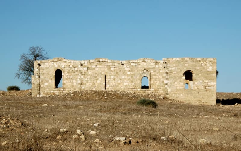
Isdud — ancient Ashdod — was a market town of nearly five thousand on the coastal highway north of Gaza, with two mosques, three shrines, schools, a train station, and a Wednesday market. It was the Egyptian army's northernmost stand of 1948, falling in late October during Operation Yoav; modern Ashdod rose on its lands.
Julis
جولسDepopulated 1948
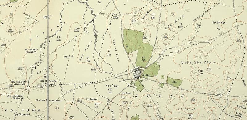
Julis, set on a wadi bank beside a road junction and a British military camp on the Gaza coast highway, fell to the Giv'ati Brigade around the first truce of 1948 and then held against the Egyptian counterattack in which Gamal Abdel Nasser served as staff officer. A few cement houses remain beside the old camp.
Jusayr
جُسَيْرDepopulated 1948
Jusayr stood between two bridges over Wadi al-Jira, a grain village of 1,180 whose elders said it had been a stopping place for pilgrims going to Mecca. Israeli sources put its occupation in the second half of July 1948, in the Giv'ati offensive whose orders were to break through the Egyptian lines and expel the civilians of the ground taken; two Egyptian sources, one of them Gamal Abdel Nasser, date it a month earlier, during the first truce. One house stands in a peach orchard.
Karatiyya
كَرَتِيّاDepopulated 1948
Karatiyya — the Crusaders' Galatie, taken by Salah al-Din, where the Mamluk sultan camped in 1299 on his way to fight the Mongols — was a rainfed grain village of 1,370 with a mill and two wells. The Giv'ati and Armored brigades stormed it on the night of 17–18 July 1948, hours before the second truce; an Egyptian counterattack reached its outskirts. A destroyed cemetery among eucalyptus is what is left.
Kaufakha
كوفخةDepopulated 1948
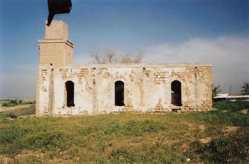
Kaufakha was a farming village east of Gaza, founded by Gaza city families in the late nineteenth century around a well-known mosque. Its people repeatedly asked to surrender and stay, to no avail: the Palmach's Negev Brigade expelled them in late May 1948. Only the mosque remains, used as a stable and fodder store.
Kawkaba
كوكباDepopulated 1948
A village on the southern coastal plain 25 kilometers northeast of Gaza city, whose population the British government's April 1945 survey estimated at 680. It changed hands no fewer than three times in 1948, and the Israeli army announced its capture on 20 October during Operation Yoav.
Najd
نجدDepopulated 1948
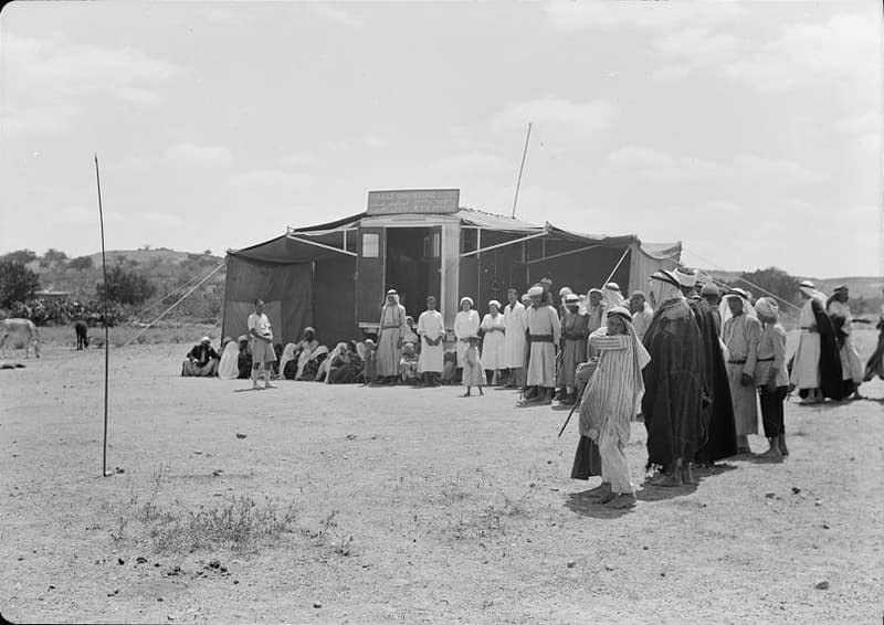
Najd — its name means 'elevated ground' — was a small farming village northeast of Gaza whose children walked to school in Simsim. Its people were expelled by the Palmach's Negev Brigade on 13 May 1948, two days before the Mandate ended; Sderot was founded on its lands in 1951.
Ni'ilya
نِعِلْياDepopulated 1948
Ni'ilya stood three kilometers south-southwest of al-Majdal on a site its people had rebuilt north of an older one the dunes had swallowed, holding the sand back with fruit trees and cactus hedges. Its school was finished in the winter of 1948 and never opened because of the war. The village was taken around the fall of al-Majdal on 4–5 November 1948; one house remains, lived in by a Palestinian family.
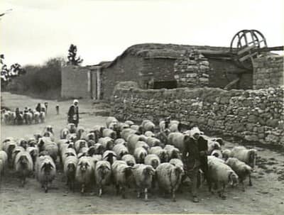
Qastina
قسطينةDepopulated 1948
Qastina stood on the highway between al-Majdal and the Jerusalem–Jaffa road, its 890 people farming grain and citrus beside the British camp at Beer Tuvia. The Giv'ati Brigade seized it days after the first truce ended, in July 1948; Kiryat Malakhi and several settlements later rose on its lands.
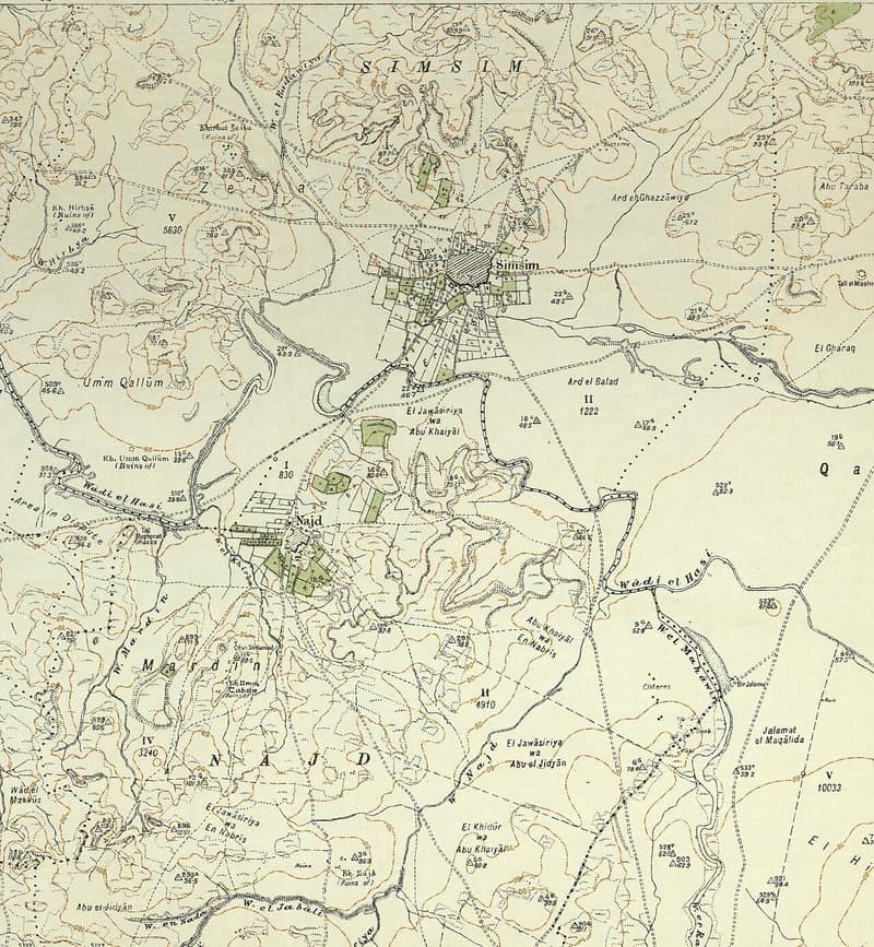
Simsim
سمسمDepopulated 1948
Simsim, a circular village of gardens and deep wells northeast of Gaza and the hometown of a leader of the 1936 revolt, was captured and emptied by the Palmach's Negev Brigade in mid-May 1948, a day after neighboring Burayr fell. The site was obliterated; only cypress and sycamore trees mark it.
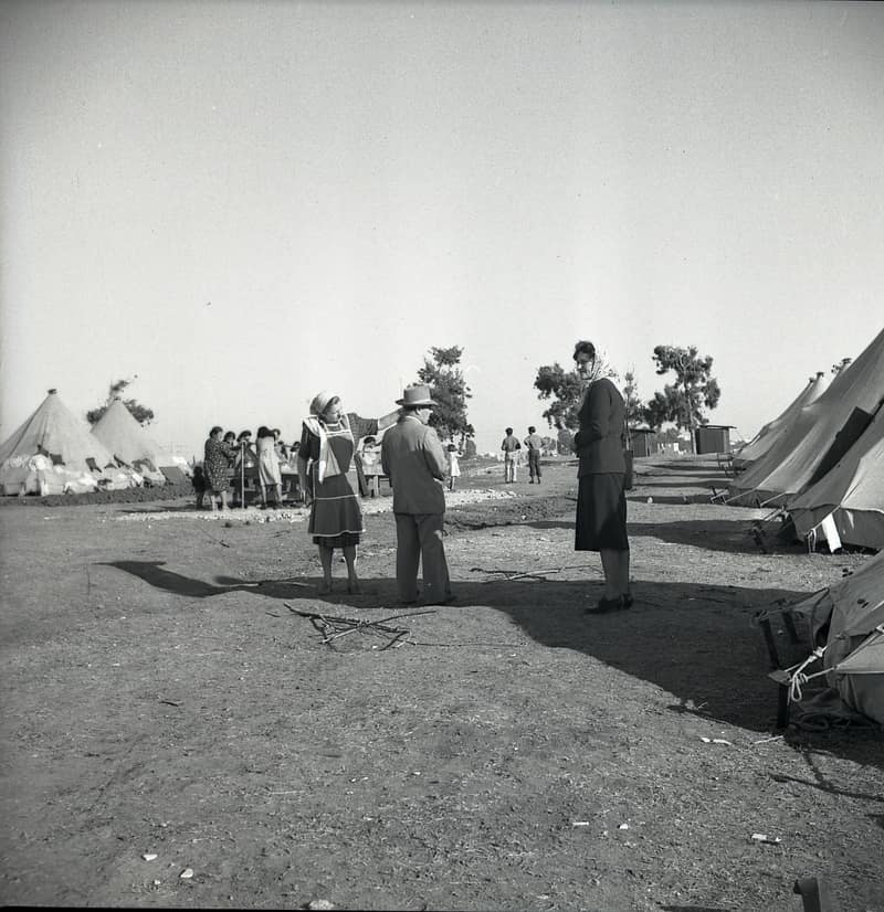
Summil
سميلDepopulated 1948
Summil, a grain and sheep village on a wadi-ringed sandy hill whose revenues the Mamluks once endowed to Hebron's Ibrahimi mosque, fell in the Giv'ati Brigade's push south during the 'Ten Days' of July 1948, its people most likely driven toward Hebron. A length of old wall and a cactus-lined road remain.
Tall al-Turmus
تَلّ التُرْمُسDepopulated 1948
Tall al-Turmus stood on a low hill northeast of Gaza, a village of 760 whose name joined the Arabic words for hill and lupine. It had a mosque and shared a school of about 160 pupils with Qastina. Sources disagree on the exact occupation date: PalQuest places it around 9–10 July 1948 during Operation An-Far, while Zochrot lists 1 July. Khalidi's 1992 survey recorded house rubble among cactus, sycamore and eucalyptus, with the surrounding land farmed.
Yasur
ياصُورDepopulated 1948
Yasur was a Gaza-district farming village of 1,070 people in 1944/45, with a mosque, shops and a school on a plateau between roads to al-Majdal and Ramla. Sources place its capture by the Giv'ati Brigade around 10–11 June 1948, though one source summary gives 9 June. A 1992 survey found one standing house in a fenced military zone containing an aircraft-parts site; the cited records disagree over later settlement boundaries.
Jerusalem
27 records'Allar
عَلاّرDepopulated 1948
'Allar was a village of 440 people on a mountain slope above a tributary of Wadi al-Sarar, with four shrines around it and an elementary school in it. It fell on 22 October 1948 during Operation Ha-Har. The domed school building is the one structure still standing on the site.
'Artuf
عَرْتُوفDepopulated 1948
'Artuf was a village of 350 people beside the Zionist settlement of Hartuv, whose Bulgarian settlers leased land to Arab cultivators — an arrangement mainstream Zionist organisations objected to. Mortared out on the night of 17–18 July 1948, its people walked three miles uphill to Dayr al-Hawa.
'Islin
عِسْلِينDepopulated 1948
'Islin was a village of 260 people that had been abandoned in the 1870s and resettled around the turn of the century. Israeli troops mortared and took it on 17–18 July 1948, during Operation Dani. A Jewish National Fund plant nursery and an Egged bus repair yard now stand on the site.
Al-Maliha
المالِحَةDepopulated 1948
Al-Maliha was a village of 1,940 people five kilometres from Jerusalem, close enough to have become one of its suburbs. It emptied in two waves — after Deir Yassin in April 1948, then under direct attack in mid-July. Its houses, school and the mosque of 'Umar ibn al-Khattab are still standing inside West Jerusalem.
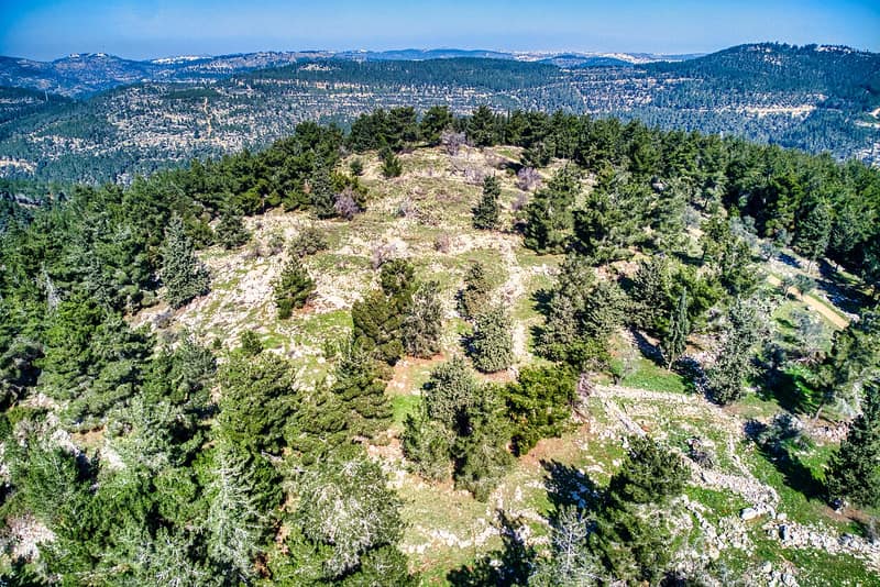
Al-Qabu
القبوDepopulated 1948
Al-Qabu was a small hilltop village west of Jerusalem, its stone houses ringed by terraces of olives and grain. Captured in October 1948 during Operation Ha-Har, it was destroyed, and moshav Mevo Betar was later built on its lands.
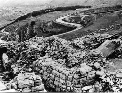
Al-Qastal
القسطلDepopulated 1948
Al-Qastal was a tiny village on a commanding hill above the Jaffa–Jerusalem road. In April 1948 it became the pivot of the battle for Jerusalem: Palmach troops seized it during Operation Nachshon, and Abd al-Qadir al-Husayni, the best-known Palestinian commander of the war, was killed trying to win it back.
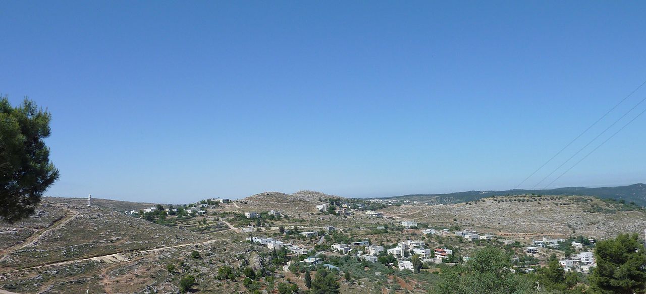
Al-Walaja
الولجةDepopulated 1948
Al-Walaja, a terraced village of springs and olive groves west of Jerusalem, was emptied in October 1948 — but its people rebuilt on the fragment of their lands that fell on the West Bank side of the armistice line. Today the rebuilt village is hemmed in by settlements and nearly ringed by the separation barrier.
Bayt 'Itab
بَيْت عِطابDepopulated 1948
Bayt 'Itab was a village of 540 people on a rocky knoll seventeen kilometres west of Jerusalem, with a Crusader fortress in the middle of it and a large cavern running beneath the houses. In the 1850s it was the seat of the Lahham family, who controlled twenty-four villages. The Har'el Brigade took it on 21 October 1948.
Bayt Mahsir
بَيْت مَحْسِيرDepopulated 1948
Bayt Mahsir held the ridge above Bab al-Wad, where the Jaffa–Jerusalem road begins to climb — 2,400 people in 1945, three schools, an olive press and flour mills. It took the Palmach three nights to take it in May 1948, and the village was levelled after it fell.
Bayt Naqquba
بَيْت نَقُّوباDepopulated 1948
Bayt Naqquba was a village of 240 people on a hill above the Jaffa–Jerusalem highway, taken early in April 1948 during Operation Nachshon. It is the one case among the depopulated villages where a new Arab village of the same name was later built nearby, and some of the refugees were allowed to live in it.
Dayr Aban
دَيْر آبانDepopulated 1948
Dayr Aban was a village of 2,100 people on a hillside west of Jerusalem, gathered around the crossing of five roads and the al-'Umari mosque. It was the first village taken in Operation Ha-Har, on the night of 19–20 October 1948; four Israeli localities, including Beyt Shemesh, stand on its land.
Dayr al-Shaykh
دَيْر الشَيْخDepopulated 1948
Dayr al-Shaykh was a village of 220 people at the foot of Mt Shaykh Badr, with a railway station half a kilometre to the east and the shrine of al-Shaykh Sultan Badr at its heart. The Har'el Brigade took it around 21 October 1948. The shrine still stands, and is now an Israeli tourist site.
Dayr Rafat
دَيْر رافاتDepopulated 1948
Dayr Rafat was a village of 430 people — a hundred of them Christians — grown up around a large monastery of the Latin Patriarchate. The Har'el Brigade overran it on 17–18 July 1948; most of the village was blown up in September, during the second truce. The monastery still owns the land.
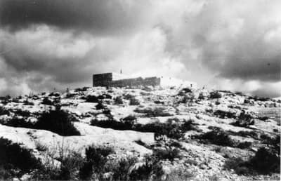
Deir al-Hawa
دير الهواDepopulated 1948
Deir al-Hawa was a tiny hamlet on a high ridge west of Jerusalem — sixty people in 1945, a mosque, and a shrine for a local sage. The Har'el Brigade captured it in October 1948 during Operation Ha-Har and it was obliterated; a Jewish National Fund park now spreads over its lands.
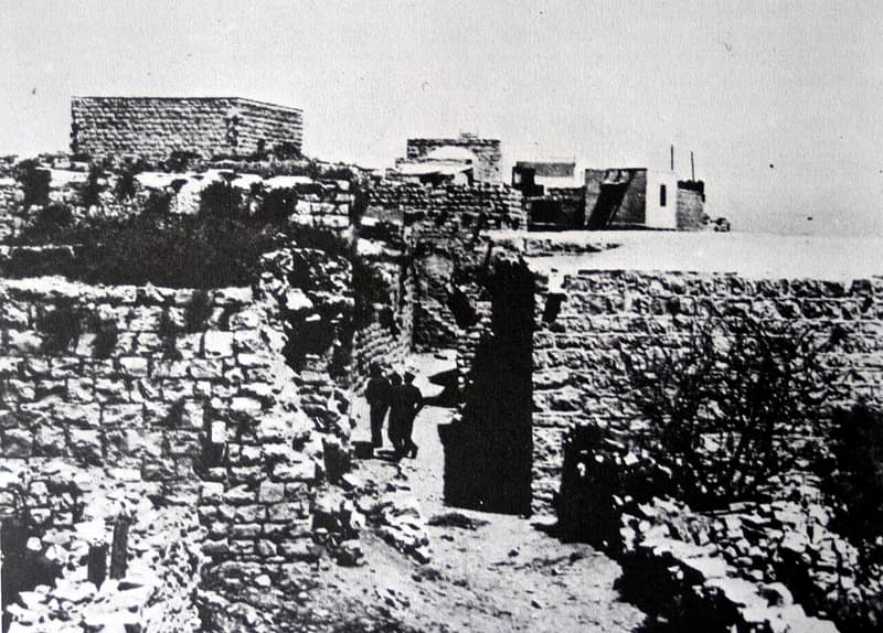
Deir Yassin
دير ياسينDepopulated 1948
Deir Yassin, a small village west of Jerusalem, was the site of the best-known massacre of the 1948 war, when Irgun and Lehi fighters killed more than a hundred villagers on 9 April 1948. Its name became shorthand for the terror that drove Palestinian flight.
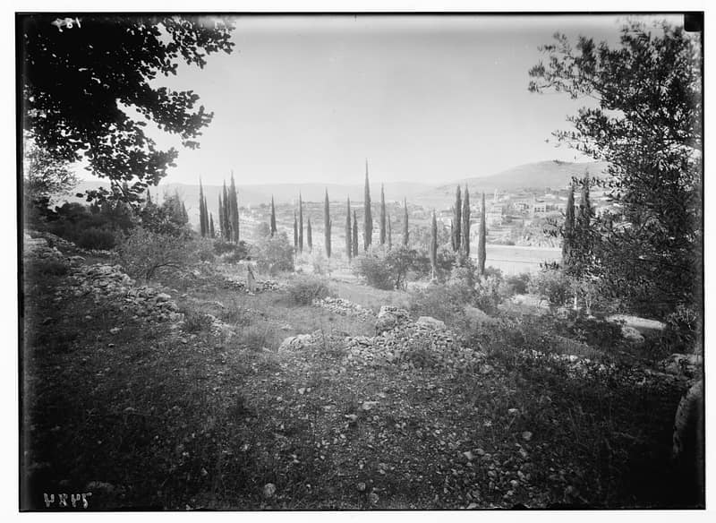
Ein Karem
عين كارمDepopulated 1948
Ein Karem, a spring-fed village in the Jerusalem hills venerated as the birthplace of John the Baptist, was the largest village of the Jerusalem district until its capture in July 1948. It survived the war with its houses intact — an emptied village that is now a picturesque Jerusalem neighborhood.
Ishwa'
إشْوَعDepopulated 1948
Ishwa' was a village of 620 people on the Bayt Jibrin road, its mosque named for the prophet Joshua. British artillery shelled it in March 1948 and the residents were evacuated; the Har'el Brigade cleared it for good on 16 July. A soccer field now covers part of the site, with the fallen roofs of houses at its edge.
Kasla
كَسْلاDepopulated 1948
Kasla was a village of 280 people on a ridge above two deep wadis, watered by springs and keeping a shrine for a Shaykh Ahmad. The Har'el Brigade cleared it in mid-July 1948 during Operation Dani; Morris records that the villagers here had left earlier, fled under mortar fire, or were expelled.
Khirbat al-'Umur
خربة العُمُورDepopulated 1948
Khirbat al-'Umur was a village of 270 people on a small plateau twelve kilometres west of Jerusalem, built beside the ruin it was named for. The Har'el Brigade took it on 21 October 1948 during Operation Ha-Har. The spring of 'Ayn al-'Umur and the stone structure around it are still there.
Khirbat al-Lawz
خربة اللَوْزDepopulated 1948
Khirbat al-Lawz was a village of 450 people on a ridge eleven kilometres west of Jerusalem, its vineyards, olives and almonds terraced down the slope below. The Har'el Brigade took it on 13–14 July 1948 and went on turning refugees back for months afterwards. The forest planted over it is dedicated to Moshe Dayan.
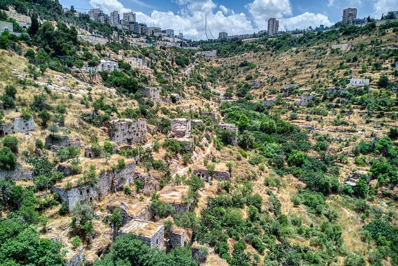
Lifta
لفتاDepopulated 1948
Lifta, at the western gateway to Jerusalem, was emptied of its roughly 3,000 residents in the first months of 1948. Its stone houses still stand in the valley below the highway, making it the most visibly surviving depopulated Palestinian village and a focus of return and preservation campaigns.
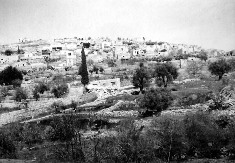
Qaluniyya
قالونياDepopulated 1948
Qaluniyya was a village on the Jerusalem–Jaffa highway whose name preserved the Roman Colonia founded on the ruins of Jewish Motza. Days after Deir Yassin, in April 1948, Haganah forces entered and blew up fifty of its houses; its ruins lie beside Motza, and Mevaseret Zion spreads over its lands.
Ras Abu 'Ammar
راس أبو عَمّارDepopulated 1948
Ras Abu 'Ammar was a village of 620 people on a hill ringed on three sides by Wadi al-Sarar, watering its vines from ponds fed off the mountain top. The Har'el Brigade took it on 21 October 1948 during Operation Ha-Har. The two-room schoolhouse is still standing.
Sar'a
صَرْعَةDepopulated 1948
Sar'a was a village of 340 people in three quarters on a white chalk hill, with the maqam of al-Nabi Samat on the slope to the south. Egyptian forces defended it; the Har'el Brigade's Fourth Battalion took it on 13–14 July 1948, in preparation for the attack on 'Artuf.
Saris
سارِيسDepopulated 1948
Saris stood on a plateau above the Jaffa–Jerusalem highway, 560 people in 1945, close enough to the coast to see Ramla and Lydda from its edge. A Haganah force destroyed it in the middle of April 1948, at the end of Operation Nachshon; the settlement of Shoresh was inaugurated on its land the same year.
Sataf
صَطافDepopulated 1948
Sataf was a village of 540 people on a steep slope ten kilometres west of Jerusalem, watered by two springs and selling its produce in the city's markets. The Har'el Brigade attacked it on 13–14 July 1948. Its spring is now an Israeli tourist site and its terraces are still standing.
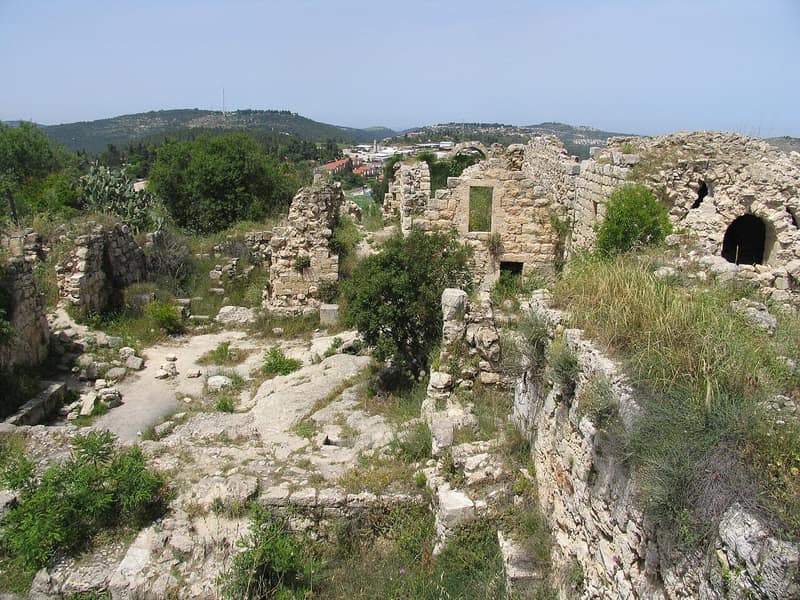
Suba
صوباDepopulated 1948
Suba stood on a conical hill above the Jerusalem–Tel Aviv road, its stone houses built among the ruins of a Crusader castle. Captured in July 1948 during Operation Danny, it survives as one of the more complete village ruins in the Jerusalem corridor, within a national park beside Kibbutz Tzova.
Ramla
24 records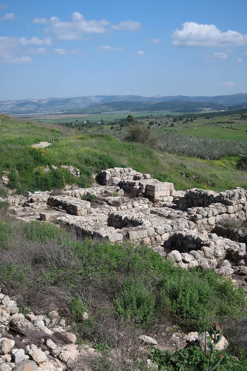
Abu Shusha
أبو شوشةDepopulated 1948
Abu Shusha stood on the southern slope of Tall Jazar — ancient Gezer — eight and a half kilometres southeast of Ramla, with 870 people and 9,425 dunums in 1944/45. The Givati Brigade mortared and stormed it on 13–14 May 1948 during Operation Barak; research by Birzeit University puts the number killed at around sixty, and a mass grave holding fifty-two skeletons was uncovered on the site in 1995.
Al-Maghar
المَغارDepopulated 1948
Al-Maghar — 'the cave' — stood on three low hills twelve kilometers from Ramla, a village of 1,740 whose people put up 5,000 Palestinian pounds of their own to build a school on twenty-two dunums. The Giv'ati Brigade took it on 15 May 1948 at the opening of Operation Barak; the Jewish National Fund began levelling it in June, and Yosef Weitz went to watch three tractors finish the work.
Al-Muzayri'a
المُزَيْرِعَةDepopulated 1948
Al-Muzayri'a stood on a limestone hill at the end of the Ramallah heights, abandoned in the seventeenth century and resettled in the eighteenth by the al-Rumayh family from Deir Ghassaneh. Its boys' school drew children from the villages around, and a Roman mausoleum on its land had long since been made a mosque of al-Nabi Yahya. It was almost certainly taken during Operation Dani in mid-July 1948; the site is largely forested now.
Al-Na'ani
النَعانيDepopulated 1948
Al-Na'ani stood six kilometers from Ramla with a station on the Jaffa–Jerusalem railway beside it, 1,450 Muslims and twenty Christians, two mosques and an old well in the southwest quarter that gave the village its drinking water. The Giv'ati Brigade surrounded it on 14 May 1948 and took hostages against the surrender of its weapons; Benny Morris writes that many villagers stayed until 10 June, when they were probably ordered out or intimidated into leaving. The railway station is deserted.
Al-Nabi Rubin
النبي رُوبِينDepopulated 1948
Al-Nabi Rubin, on the south bank of the Rubin river three kilometers from the sea, held the shrine of the prophet Rubin and the mawsim that ran from July to September — one of the two great pilgrimage seasons of Palestine, with dabka, dhikr, horse races, poets and a cinema beside the shrine. Its 1,420 people were expelled on 1 June 1948, three days before Yibna. The shrine and its minaret still stand among the shrubs.
Al-Qubab
القُبابDepopulated 1948
Al-Qubab — 'the domes,' for the dome-shaped hills it was built on — stood on the north side of the Ramla–Jerusalem highway, 1,980 people living from grain, vegetables, fruit and livestock. Accounts of its fall differ by three weeks: 15 May 1948 in the New York Times and in Morris, early June in the Israeli official history. In September it was one of fourteen villages Ben-Gurion sought permission to destroy; the school still stands.
Al-Qubayba
القُبَيْبَةDepopulated 1948
Al-Qubayba, ten and a half kilometers from Ramla, was a citrus village on an alluvial rise, its groves watered from artesian wells and the Rubin river, its school teaching agronomy on twelve dunums of its own. The Giv'ati Brigade took it in late May 1948; its destruction was raised at the Israeli cabinet in June. Part of the school still stands among the buildings of Ge'alya.
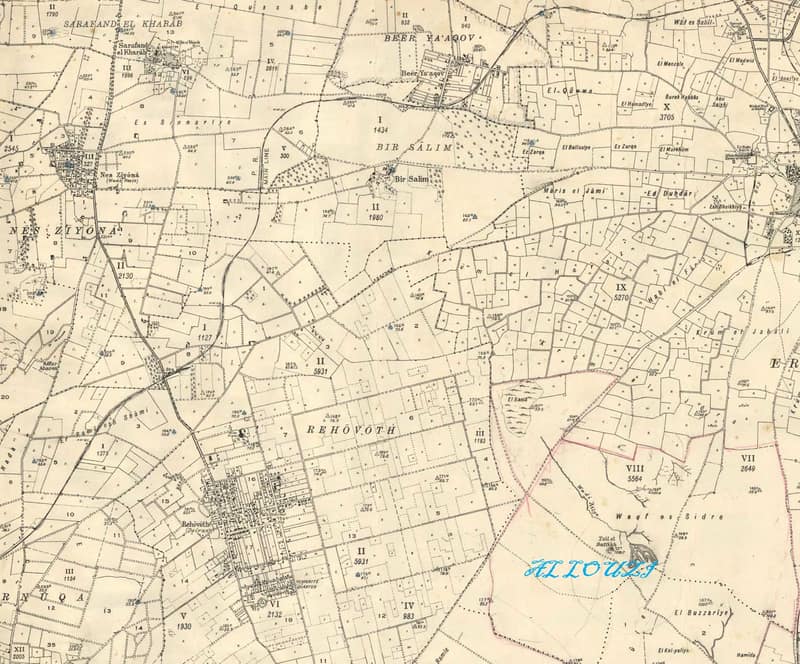
Al-Sarafand
سرافند الخرابDepopulated 1948
Al-Sarafand — Sarafand al-Kharab — was a citrus village beside the great British camp on the Ramla plain, burned by British forces in the late 1920s and rebuilt, only to be emptied in April 1948 as fighting closed in. Nes Ziona has spread over its lands, but many houses and the village school remain.
Aqir
عاقِرDepopulated 1948
Aqir — the Roman Accaron, and to al-Maqdisi in the tenth century a big village with a large mosque whose people baked a particular bread — held 2,480 people, two mosques, two shrines and two schools. The Giv'ati Brigade surrounded it on 5 May 1948, took eight villagers hostage over a weapons search, and occupied it the next day; the thirty or so who stayed were expelled within weeks. Small houses remain among cypress and cactus at Qiryat Eqron.
Bashshit
بَشِّيتDepopulated 1948
Bashshit — the Crusaders' Basit, and the home of the grammarian and chronicler Jamal al-Bashshiti, who died in 1417 — was a grain village of 1,620 with a three-domed shrine above it and a mosque at its center. The Giv'ati Brigade took it on 12 or 13 May 1948, days before the Mandate ended; the Haganah statement called it a strong Arab center. Seven Israeli settlements stand on its land; three houses and a pool remain.
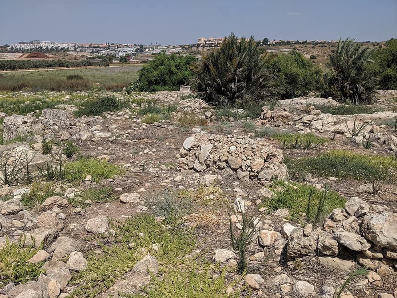
Bayt Nabala
بيت نبالاDepopulated 1948
Bayt Nabala looked out over the plain around Lydda from a rocky hill east of the airport, 2,310 people holding 15,051 dunums in 1944/45. On 13 July 1948 Israeli soldiers drove much of the expelled population of Lydda towards it while it was still in Arab hands; the village fell within days, during Operation Dani, and was demolished on 13 September 1948. Its people scattered to Ramallah, Deir Ammar, Rantis and the Jalazone camp.
Bayt Nuba
بيت نوباDepopulated 1967
Bayt Nuba was the third of the Latrun villages, with Imwas and Yalu. Israeli forces took the salient in the first hours of the June 1967 war; that night the inhabitants of all three villages — some 12,000 people — were ordered out, and the built-up area of Bayt Nuba was afterwards destroyed by military demolition. Mevo Horon was established on its lands in 1970, and the site lies within Canada Park.
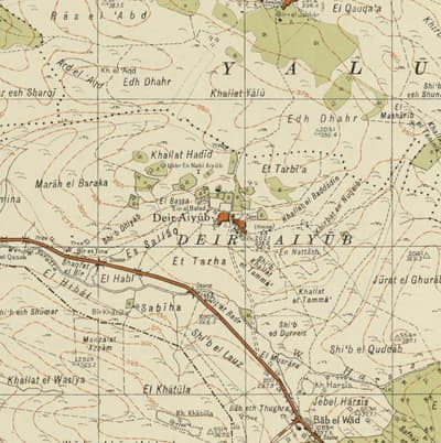
Dayr Ayyub
دير أيوبDepopulated 1948
Dayr Ayyub, a hamlet on the slopes above the Ramla–Jerusalem highway that revered the tomb of the prophet Job, changed hands repeatedly in the Latrun battles of 1948 and ended the war depopulated near the armistice line. No settlement was built on its lands; the eastern edge of Canada Park lies over the site.
Dayr Tarif
دَيْر طَرِيفDepopulated 1948
Dayr Tarif — the Roman-era Bethariph — stood on a mound over a Roman site three kilometers east of Lydda airport, 1,750 people farming citrus and grain from a great number of artesian wells. A Jewish aircraft bombed it on 14 April 1948; it changed hands twice during Operation Dani in July, an Arab Legion counterattack driving the first Israeli units out. The school building is now a stable.
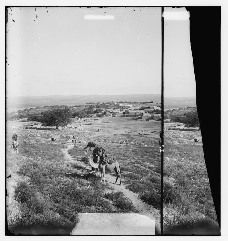
Imwas
عمواسDepopulated 1967
Imwas, widely identified with the biblical Emmaus, survived two thousand years of empires before Israeli forces expelled its residents and bulldozed the village in June 1967. Its site lies inside Canada Park, beside the ruins of Emmaus Nicopolis.
Jimzu
جِمْزُوDepopulated 1948
Jimzu — the Gimzo of II Chronicles 28:18 — stood six and a half kilometers from Ramla among cactus hedges and olive trees, 1,510 people with 1,400 dunums of their land in olives. The Yiftach Brigade occupied it on 10 July 1948 during Operation Dani; what happened to its people is not clear from the record. Only strewn stones and some crumbled walls remain.
Majdal Yaba
مَجْدَل ياباDepopulated 1948
Majdal Yaba — Majdal al-Sadiq, the Crusaders' Mirabel — stood on the western slopes of the Nablus mountains above the line of the Via Maris, seat of the Rayyan family who controlled twenty-two villages in the 1850s. The Alexandroni Brigade's Second Battalion took it from Iraqi forces on 12 July 1948, during Operation Dani. The fortress still crowns the site, and the tomb of al-Sadiq stands beside it.
Qatra
قَطْرَةDepopulated 1948
Qatra — the Hellenistic Kidron, called Qatrat Islam under the Mandate to distinguish it from the Jewish fort beside it — was a village of 1,210 on limestone ground a kilometer south of Wadi al-Sarar. The Giv'ati Brigade surrounded it on 6 May 1948 and demanded its weapons; Benny Morris records looting, arrests, and the rest of the villagers intimidated or ordered out within days. Only the school and a few deserted houses remain.
Qula
قُولَةDepopulated 1948
Qula stood on a limestone hill on the western slope of the Ramallah mountains, built over the Crusader fortress of Cola, a village of 1,010 at an important crossroads north of Lydda. It changed hands four times in eight days in July 1948 between Israeli brigades and the Arab Legion, and the Israeli official history records heavy Israeli losses in the fighting for it. A forest covers the site; the school is the only landmark left.
Sarafand al-'Amar
صَرَفَنْد العَمارDepopulated 1948
Sarafand al-'Amar — Sarafand al-Kubra, the larger of the two Sarafands — held 1,950 people, the shrine of Luqman al-Hakim, and the al-Raja' orphanage for the children of Palestinians killed in the 1936–39 revolt, beside the largest British military base in the Middle East. The Giv'ati Brigade's Second Battalion probably took it on the night of 19–20 May 1948. The site is now a closed Israeli military area; no more than six houses remain.
Wadi Hunayn
وادِي حُنَيْنDepopulated 1948
Wadi Hunayn, named by its founders after their home valley in Hadramawt, was a citrus village of 1,620 across the road from the Zionist settlement of Nes Tziyyona — the only genuinely mixed locality in Palestine, where the two communities lived side by side. Its people fled on 17 April 1948, and the record of why is thin. The mosque is now a synagogue; about ten houses survive.
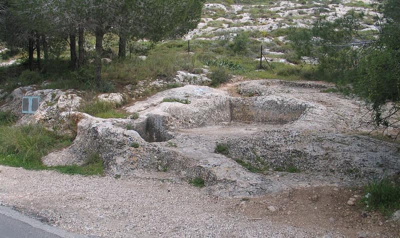
Yalo
يالوDepopulated 1967
Yalo stood in the Latrun salient on the road from Ramla to Jerusalem until June 1967, when its people were expelled and the village bulldozed together with Imwas and Bayt Nuba. Its lands now lie inside Canada Park, planted over the ruins.
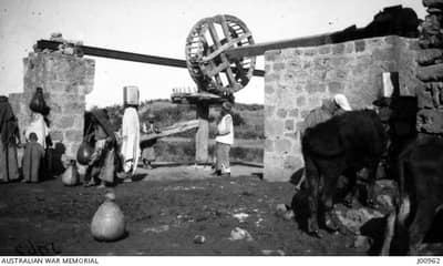
Yibna
يبنةDepopulated 1948
Yibna — biblical Jabneel, Roman Jamnia, seat of the Sanhedrin after Jerusalem's destruction — was a town of over five thousand with a station on the Gaza–Lydda railway and a mosque praised by medieval geographers. It fell in early June 1948 as Israeli forces pushed south; its mosque and shrine stand dilapidated beside modern Yavne.
Zarnuqa
زَرْنُوقَةDepopulated 1948
Zarnuqa was a citrus village of 2,380 ringed on every side by fruit trees watered from its own wells, with a clinic, two schools and a Saturday market that drew merchants from Jaffa, Lydda and Ramla. The Giv'ati Brigade occupied it on 27 May 1948 during Operation Barak; a letter published in the Mapam newspaper 'Al ha-Mishmar described the killing of an old man, an old woman and a child, and the expulsion of the rest toward Yibna. The village was destroyed outright that June.
Acre
22 records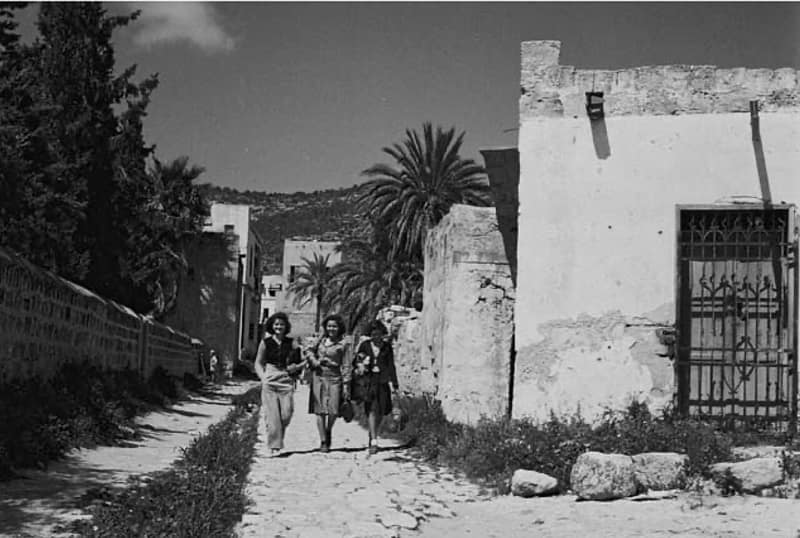
Al-Bassa
البصةDepopulated 1948
Al-Bassa was a large, prosperous Muslim-Christian village on the Lebanese border — a regional market center with schools, churches, and mosques. Punished by the British with a massacre in 1938, it was stormed by the Haganah in May 1948 and almost completely razed; its ruins lie inside Shlomi and Betzet.
Al-Birwa
البروةDepopulated 1948
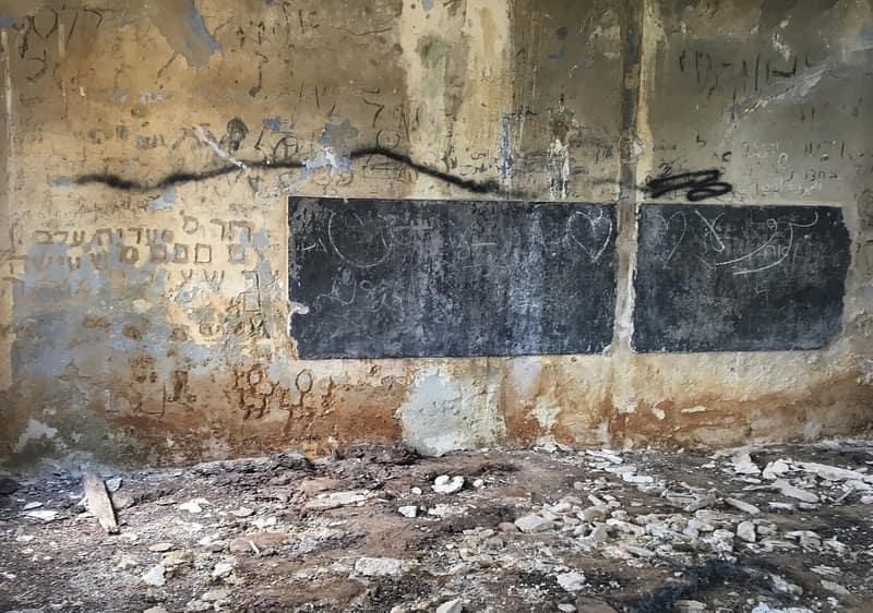
Al-Birwa, on a rocky hill east of Acre, was a farming village of some 1,500 people — Muslims and Christians — and the birthplace of the poet Mahmoud Darwish. Captured in July 1948, it was destroyed almost entirely; a school, two shrines, and three houses are all that remain.

Al-Damun
الدامونDepopulated 1948
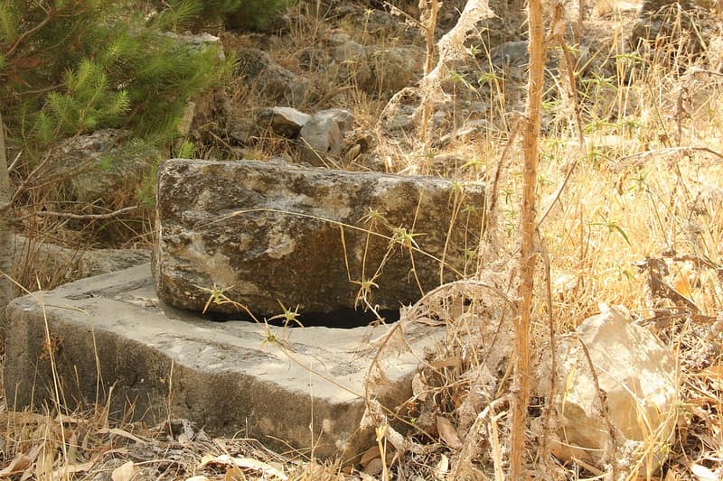
Al-Damun was a village on the Na'amin River southeast of Acre, home of the Zayadina clan before they rose to rule the Galilee. Captured in July 1948 during Operation Dekel and razed, its people became mostly internal refugees in nearby Tamra and Kabul; its cemetery and ruined waterworks remain in the undergrowth.
Al-Ghabisiyya
الغابسيةDepopulated 1948
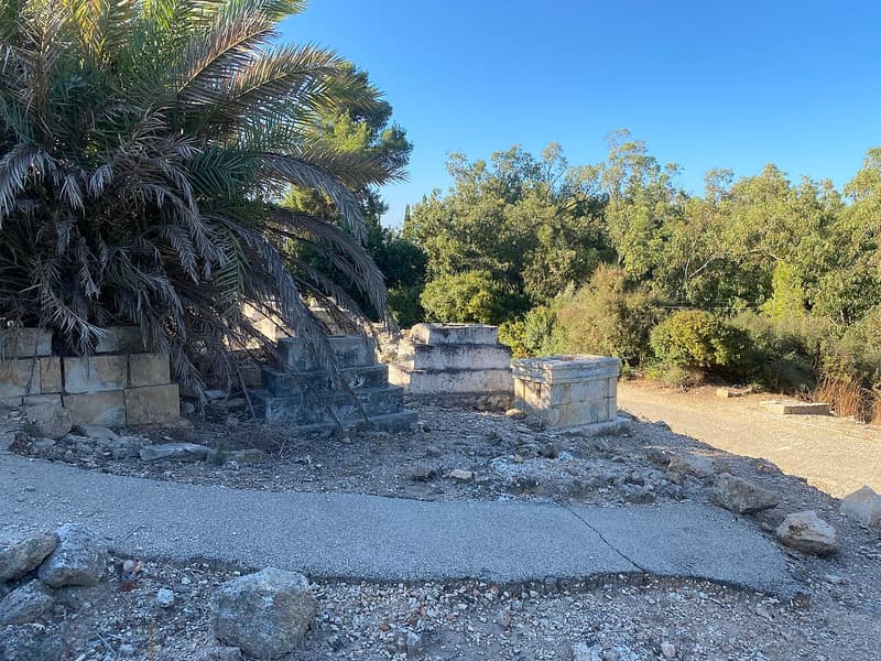
Al-Ghabisiyya was a village northeast of Acre that had a non-aggression pact with its Jewish neighbors — yet the Carmeli Brigade attacked it anyway in May 1948. Its people fought for years in Israel's courts to return, and lost; only the mosque and cemetery remain, and villagers still pray outside the sealed mosque.
Al-Kabri
الكابريDepopulated 1948
Al-Kabri was a stone village northeast of Acre whose famous springs supplied the city's water through Ottoman aqueducts. Punished for the ambush of the Yehiam convoy, it was occupied in Operation Ben-Ami in May 1948 and leveled; today only rubble and the cemetery remain, beside the kibbutz that took its name.
Al-Manshiyya (Acre)
المَنْشِيَّةDepopulated 1948
Al-Manshiyya stood on the plain northeast of Acre, beside the al-Basha canal, with 810 Arab residents recorded in 1944/45, a mosque, an Islamic orphanage and the Shrine of Baha' Allah. Indirect evidence places its occupation at the opening of Operation Ben-Ami on 14 May 1948; by 16 June its destruction was already under way. Khalidi's 1992 survey recorded the shrine, mosque, orphanage, cemetery, canal and a few houses within Acre's expansion.
Al-Mansura
المنصورةDepopulated 1948
Al-Mansura was a Christian hamlet on the northern shoulder of an Upper Galilee mountain, twenty-nine kilometres from Acre, and part of Lebanon until the border was drawn in 1923. It was probably taken during Operation Hiram in October 1948; in mid-November the army ordered its people out, some into Lebanon and most by truck to al-Rama. The Maronite church asked in February 1949 that they be allowed home and was refused. Only the church of Mari Yohanna still stands.
Al-Nabi Rubin
النبي روبينDepopulated 1948
Al-Nabi Rubin was a satellite of Tarbikha on a dome-shaped hill twenty-eight kilometres from Acre, gathered around the tomb of the prophet Rubin, its children walking to school in Tarbikha. In the second week of November 1948, after the fighting had stopped, the army ordered its people across the border into Lebanon; the Northern Front commander Moshe Carmel reported to Ben-Gurion on 16 November that he had been forced for military reasons to expel the border villages, and named it. The shrine is all that is left.
Al-Nahr
النهرDepopulated 1948
Al-Nahr, the twin of al-Tall, stood on a sandy mound fourteen kilometres from Acre built on archaeological debris going back to the eighteenth century BC, its 610 people working land of which 97 per cent was cultivable — 2,066 dunums in citrus and bananas alone. It was captured on 20–21 May 1948 in the second phase of Operation Ben-Ami. The day before, the commander of the Carmeli Brigade ordered his battalion commanders "to attack in order to conquer, to kill among the men, to destroy and burn the villages of Al Kabri, Umm al Faraj and An Nahr." Two houses remain.
Al-Sumayriyya
السميريةDepopulated 1948
Al-Sumayriyya stood on a sandstone hill six kilometres from Acre, below the historic aqueducts of al-Kabri, its 760 people growing citrus, melons, sesame and wheat. The Carmeli Brigade attacked it on the morning of 14 May 1948 in Operation Ben-Ami. Morris writes that the eastern side was deliberately left open so the Arabs could escape; 'Arif al-'Arif writes that the village fell after heavy fighting in which all its young defenders died when their ammunition ran out. Two weeks later the New York Times printed a photograph of the wreckage left by Jewish demolition squads.

Al-Zeeb
الزيبDepopulated 1948
Al-Zeeb was a fishing and farming village on the coast north of Acre, built over the Canaanite city of Akzib. It was taken on 14 May 1948 in Operation Ben-Ami, in the last hours of the British Mandate. Its domed mosque and the mukhtar's house still stand in the Achziv recreation area, beside kibbutzim founded on its lands.
Amqa
عمقاDepopulated 1948
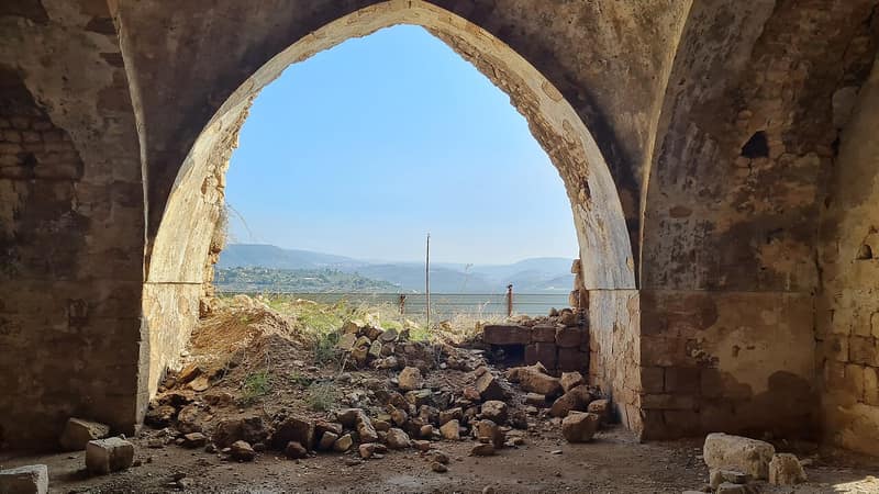
Amqa was a small Muslim village in the hills northeast of Acre, identified with the Talmudic Kefar Amiqo. It was captured in July 1948 during Operation Dekel and largely destroyed — only its mosque and school were left standing, used as warehouses by the moshav founded on its lands.
Dayr al-Qassi
دير القاسيDepopulated 1948
Dayr al-Qassi stood on a rocky hill at the centre of western Upper Galilee, twenty-six kilometres from Acre and five from the Lebanese border, with two mosques, two shrines and a Shadhiliyya zawiya. It fell on 30 October 1948 during Operation Hiram, and was bombed at the same time by Israeli aircraft — by mistake, the Israelis said — killing seven residents. Its people were not expelled at once: some 700 were still living there, in al-Bassa and in Tarshiha that December. The cabinet decided in January 1949 to put Jewish immigrants into every abandoned Galilee village, and by 27 May 1949 that had been achieved at Dayr al-Qassi.
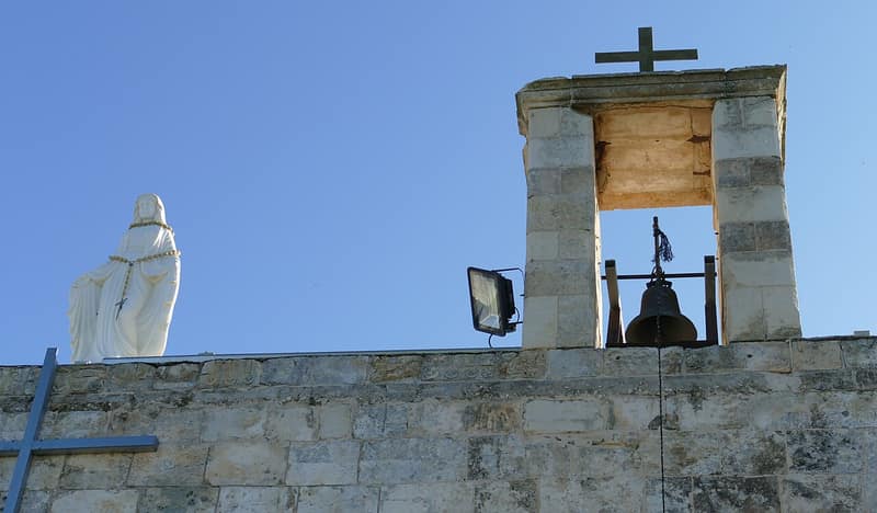
Iqrit
إقرثDepopulated 1948
Iqrit was a Greek Catholic village in the northern Galilee whose residents left in November 1948 on the army's promise that they could return within weeks. Israel's Supreme Court ruled their evacuation illegal — but on Christmas Eve 1951 the village was demolished, and the people of Iqrit have been fighting to go home ever since.
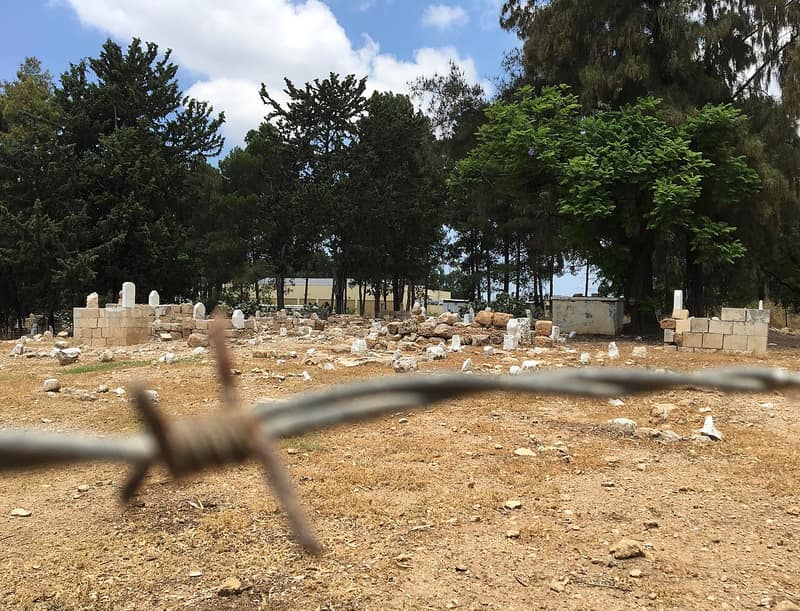
Kuwaykat
كويكاتDepopulated 1948
Kuwaykat lay nine kilometres northeast of Acre on some of the most fertile land in the subdistrict, 1,050 people holding 4,733 dunums in 1944/45. Its militia repulsed attacks in January, February and June 1948; on the night the first truce ended, 9 July, the village was shelled without warning during Operation Dekel and its people fled. Kibbutz Beit HaEmek was founded on its lands in January 1949.
Mi'ar
ميعارDepopulated 1948
Mi'ar stood on a rocky hill at the eastern tip of the Acre plain, seventeen and a half kilometres from the city, and had already been dynamited once — by two British battalions on 26 October 1938, during the Great Revolt. It was rebuilt. Ilan Pappé records that on 20 June 1948 Israeli troops entered the village, shot at its people as they worked their fields and killed forty; the survivors returned and stayed until the Seventh Brigade reoccupied Mi'ar in mid-July during Operation Dekel. Its refugees live in Kabul, Sha'ab and 'Arraba in quarters named Mi'ari after the village.
Sha'ab
شَعْبDepopulated 1948
Sha'ab's buildings survived 1948, but that did not mean its people simply remained. The 1945 village statistics estimated 1,740 residents. Israeli forces entered on 18 July; Palestinian fighters retook the village within two days, and it lay between the front lines until Operation Hiram at the end of October. Israeli authorities then blocked most villagers' return and declared Sha'ab a closed military area in 1951. Some returned over time, but most remained refugees inside and outside the country.
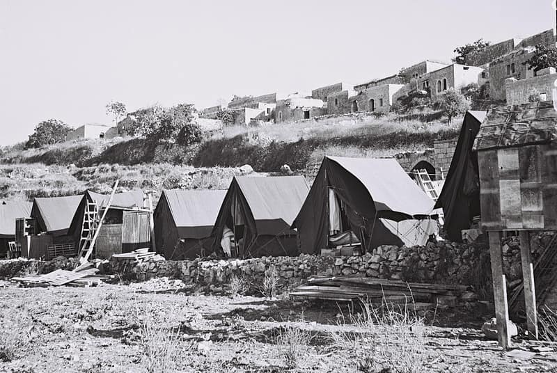
Suhmata
سحماتاDepopulated 1948
Suhmata stood on two hilltops at six hundred metres in the upper Galilee, a village of 1,130 Muslims and Christians holding 17,056 dunums in 1944/45, with a Byzantine church of 555 CE and a Crusader castle on its ground. It was bombed from the air on 28 October 1948 and taken on 30 October by the Golani Brigade's First Battalion during Operation Hiram. The site was renamed Tzuriel and made ready for Jewish immigrants by May 1949.
Suruh
سروحDepopulated 1948
Suruh was a hamlet on a rocky hill above Tarbikha, twenty-eight and a half kilometres from Acre, a kilometre from the village whose school its children attended and whose services it used. It was among the first communities expelled in the army's campaign to clear the northern border in the second week of November 1948. Morris's account does not say whether its people were forced into Lebanon or trucked elsewhere inside Israel; for weeks afterwards the army raided the emptied villages to make sure nobody had returned.
Tarbikha
تربيخاDepopulated 1948
Tarbikha stood on a plateau twenty-seven kilometres from Acre with two mosques, a school of 120 pupils, a customs office and a border police post, and a Cultural Reform Association founded in 1945. Its people were Shia Muslims, as in the villages across the Lebanese border. The Oded Brigade entered it in the second week of November 1948 and ordered its people into Lebanon; the History of the War of Independence records no resistance, and Moshe Carmel told Ben-Gurion his forces had been forced for military reasons to expel them. About twenty of its houses are lived in today by the residents of Moshav Shomera.
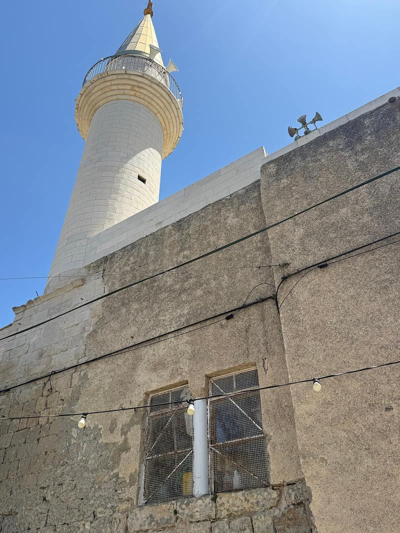
Tarshiha
ترشيحاDepopulated 1948
Tarshiha was a large Muslim-Christian town of the upper Galilee, a tobacco-growing and craft center, bombed and captured in Operation Hiram in late October 1948. Most of its people fled or were driven into Lebanon, but several hundred remained or returned; its old core survives inside the merged city of Ma'alot-Tarshiha.
Umm al-Faraj
أم الفرجDepopulated 1948
Umm al-Faraj stood on the Acre plain ten and a half kilometres from the city, an orchard village where 745 of its 825 dunums were in citrus and bananas and sugar had been made since the Fatimid period. On 20–21 May 1948 the Carmeli Brigade attacked it in the second stage of Operation Ben-Ami; the brigade commander's operational orders named the village and directed his troops to "kill among the men" and to "destroy and burn the villages." Only the stone mosque remains, shut and decaying in tall grass.
Haifa
18 recordsAbu Shusha
أبو شوشةDepopulated 1948
Abu Shusha stood at the western edge of the plain of Marj ibn 'Amir, 26 kilometers from Haifa, with a population the British government's April 1945 survey estimated at 720. It was among the first villages to fall in the battle of Mishmar ha-Emeq in April 1948, occupied by Palmach, Carmeli, and Alexandroni units and destroyed.
Abu Zurayq
أبو زريقDepopulated 1948
Abu Zurayq lay in the northern foothills of the bilad al-rawha', the fragrant country, twenty-four kilometres from Haifa, with a mosque, a boys' school and 550 people who had kept cordial relations with the neighbouring kibbutz of HaZore'a. The Palmach took it on 12 April 1948, held fifteen men and about 200 women and children, and expelled the women and children towards Jenin. Filastin reported that thirty houses were blown up, five of them still occupied. A resident of HaZore'a, Eliezer Bauer, recorded that most of the captured men were killed; his account was condemned at the kibbutz council.
Al-Kafrayn
الكفرينDepopulated 1948
Al-Kafrayn — "the two villages" — stood on a hilltop of gentle slopes and shallow wadis twenty-nine and a half kilometres from Haifa, with a mosque, a school founded around 1888 and about ten wells and springs on its land. It was one of the villages Ben-Gurion and the Haganah command decided to attack and destroy after refusing the Arab Liberation Army's ceasefire offer at Mishmar ha-Emek. The Palmach took it on 12 April 1948 and postponed the final demolition a week in order to use it for training in built-up-area fighting: on 19 April the General Staff was told the exercises had ended and the village had been blown up completely.
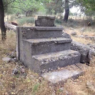
Al-Sindiyana
السنديانةDepopulated 1948
Al-Sindiyana, the 'evergreen oak' village, stood on high ground twenty-nine kilometers south of Haifa, where Napoleon fought a battle in 1799. It was depopulated on 12 May 1948, in the last days of the Mandate; its fenced site is now grazing land strewn with the rubble of its houses.
Al-Tira
الطيرةDepopulated 1948
Al-Tira, seven kilometres south of Haifa on the western slopes of Mount Carmel, was the most populous village of its subdistrict, with 5,270 people and 45,262 dunums in 1944/45, and the district's largest olive producer. An Irgun raid on 12 December 1947 killed thirteen villagers; after a siege of more than two months the village fell on 16 July 1948 under naval bombardment. Tirat Karmel was built on the site in 1949.
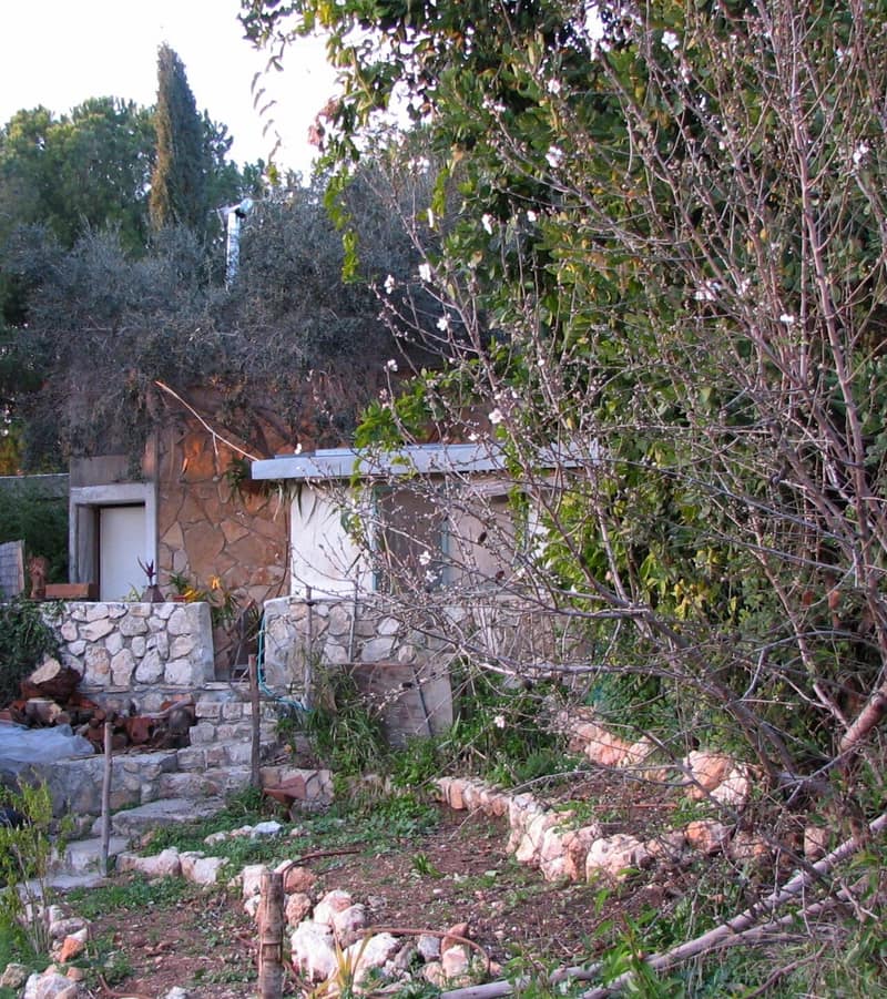
Ayn Ghazal
عين غزالDepopulated 1948
Ayn Ghazal, on the wooded slopes of Mount Carmel south of Haifa, held out with Jaba and Ijzim in the 'little triangle' until late July 1948. Its people were expelled toward Jenin and Tulkarm, and its lands became moshav farmland and JNF forest.
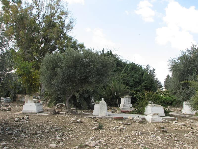
Ayn Hawd
عين حوضDepopulated 1948
Ayn Hawd, a Carmel hillside village south of Haifa said to descend from a commander of Saladin, was depopulated in July 1948. Its houses were never demolished: they became the Ein Hod artists' colony and its mosque a restaurant — while villagers who stayed built a new, long-unrecognized Ayn Hawd nearby.
Balad al-Shaykh
بلد الشيخDepopulated 1948
Balad al-Shaykh, seven kilometres from Haifa, was the second largest village of its subdistrict with 4,120 people in 1944/45, and holds the grave of Izz al-Din al-Qassam. On 31 December 1947 a Palmach force of 170 men attacked it under orders to harm the largest possible number of men; more than sixty villagers were left for dead, women and children among them. The village was taken by the Carmeli Brigade on 24 April 1948 and is now Tel Hanan, part of Nesher.
Barrat Qisarya
برة قيساريةDepopulated 1948
Barrat Qisarya — "outside of Qisarya" — stood on sandy flat ground three kilometres from the sea beside the ruins of Roman Caesarea, a village of the semi-nomadic Arab al-Turkman with 960 Arab inhabitants in 1944/45. Ilan Pappé writes that it was wiped out in February 1948 in an attack so sudden that historians on both sides call its disappearance enigmatic. Khalidi's survey carries no occupation section for it at all. The town of Or 'Aqiva now covers the ground.
Ijzim
إجزمDepopulated 1948
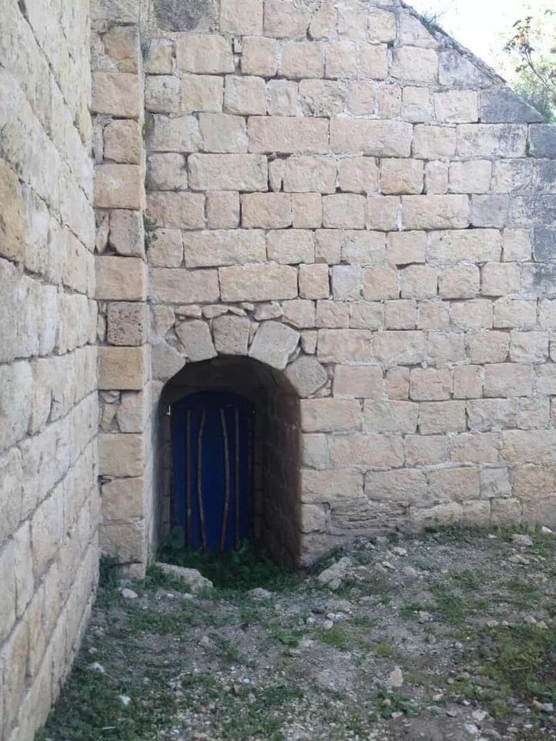
Ijzim, one of the richest villages of the Carmel coast and seat of the al-Madi family, held out with two neighbors for months against Jewish forces, blocking the Tel Aviv–Haifa road. It finally fell on 24 July 1948 in Operation Shoter — a 'police action' launched during a truce — after a two-day bombardment that an Israeli officer said left 200 dead.
Jaba'
جبعDepopulated 1948
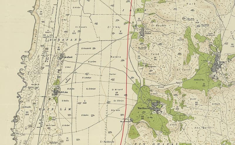
Jaba' was a village on the western slopes of Mount Carmel whose fighters blocked the coast road for months in 1948. It asked to negotiate a surrender and got no answer; days into the second truce it was taken in Operation Shoter, and its people fled or were expelled. A lone shrine still stands over the rubble.
Kafr Lam
كفر لامDepopulated 1948
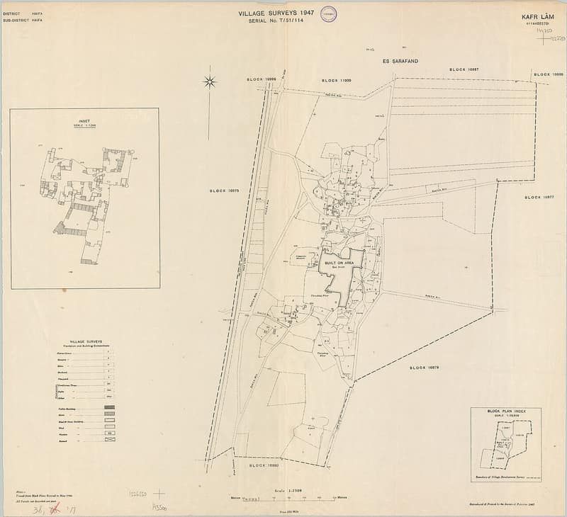
Kafr Lam was a small grain-farming village on the coast south of Haifa, crowded inside the walls of an early Islamic ribat that the Crusaders called Cafarlet. Cleared of its people by July 1948, it escaped demolition thanks to its ruins; the fortress and several houses still stand within the moshav of HaBonim.
Naghnaghiya
النغنغيةDepopulated 1948
Al-Naghnaghiyya was the smallest of the three villages known together as al-Ghubayyat, on the eastern slopes of the bilad al-rawha' beside the Haifa–Jenin highway, overlooking Marj ibn Amir. It was destroyed in the days after the battle for Mishmar ha-Emeq: the New York Times reported it occupied on 9 April 1948, Benny Morris dates the occupation to the night of 12–13 April. Whether its people fled during the attack or were expelled on occupation is not established. The site is now crossed by a highway and partly occupied by a soccer field.
Qannir
قنيرDepopulated 1948
Qannir stood on slightly raised ground in the bilad al-rawha' thirty-five kilometres from Haifa, a village of 750 people living by grain, vegetables and cattle. It was attacked three times in a single week in early March 1948; Filastin reported the third attack, on 5 March, driven back by the village's national guard contingent. Benny Morris says the villagers fled on 25 April under the influence of the offensive against Haifa, but Fawzi al-Qawuqji's dispatches record an armoured assault at four in the morning on 8 May that was resisted and repelled. When Haganah forces actually entered is not established.
Sabbarin
صبارينDepopulated 1948
Sabbarin, twenty-eight kilometres from Haifa on the banks of Wadi al-Tin, held 1,700 people and 25,307 dunums, and beside it stood the masonry shaft that fed the Roman high-level aqueduct to Caesarea. It was taken by the Irgun on 12 May 1948. The accounts differ on the killing — Ilan Pappé records seven armed young men executed on the spot, Benny Morris twenty killed in a firefight and an Irgun armoured car firing on those who fled — but agree that more than a hundred who stayed were held behind barbed wire for days and then expelled to Umm al-Fahm.
Tantura
الطنطورةDepopulated 1948
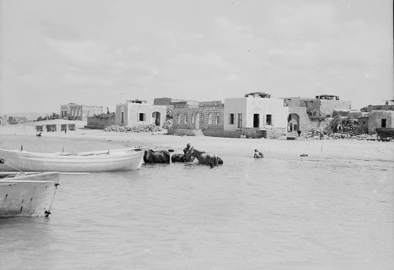
Tantura, a coastal village south of Haifa, was captured in May 1948, when scores of its residents were killed — a massacre documented in Teddy Katz's contested thesis and revisited by Alon Schwarz's 2022 documentary "Tantura." The site now lies beneath the beaches of Dor.
Umm az-Zinat
أم الزيناتDepopulated 1948
Umm az-Zinat stood on a rocky cliff on the southeastern shoulder of Mount Carmel, twenty and a half kilometres from Haifa, among the ten largest villages of its subdistrict with 1,470 people and the largest unbroken expanse of olive trees in the subdistrict — about 1,834 dunums, pressed at four manual presses. The Golani Brigade's Fourth Battalion took it on 15 May 1948 and expelled those who had stayed. In August troops returned with orders to kill any men and expel any women they found; at least two men were killed.
Yajur
ياجورDepopulated 1948
Yajur stood on the lower slopes of Mount Carmel nine and a half kilometres from Haifa. Its lands were among those the Ottoman government sold in 1872 to the Lebanese merchants Sursuq and Salim al-Khuri, who sold much of it on to Zionist buyers; the settlement of Yagur was established on it in 1922, and by 1944/45 the villagers held 344 of the 2,720 dunums that had been theirs. After the Haganah attacked Balad al-Shaykh next door, the villagers did not wait: Morris puts their evacuation at 24 or 25 April 1948, and the New York Times reported a direct strike on the same days.
Safad
18 recordsAl-'Abisiyya
العابسيةDepopulated 1948
Al-'Abisiyya stood on flat ground in the northeastern Hula plain close to the Syrian border, twenty-eight and a half kilometres from Safad, its crops irrigated from the Banyas and its drinking water from the springs that fed the river. Its people fled on 25 May 1948 under the psychological-warfare campaign that ran alongside Operation Yiftach, though Morris allows that the village may also have been attacked outright. A week earlier, on 18 May, the members of Kibbutz Sde Nechemya had already written to the Agricultural Centre asking — "somewhat shamefacedly" — for 1,700 dunums of its land.
Al-Dawwara
الدوارةDepopulated 1948
Al-Dawwara stood on flat ground twenty-seven kilometres from Safad, near the confluence of the Hasbani, the Banyas and the Dan, facing Mount Hermon. An Israeli military intelligence report lists it among the villages whose inhabitants fled on 25 May 1948 as a result of the whispering campaign devised by Yigal Allon for Operation Yiftach — though the gap between that date and the campaign's launch on 10 May suggests a military attack also played a part. The whole area is now a fish hatchery; a few building stones at the edge of a pond are all that is left.
Al-Ja'una
الجاعونةDepopulated 1948
Al-Ja'una stood on a slope of Mount Kan'an five kilometres from Safad, and it was from its villagers that the land for the first Zionist settlement in the Galilee, Ro'sh Pinna, was bought in 1878. Its people were evacuated in the first days of May 1948 or on 9 May, with the final attack on Safad — Morris gives both. Some were still there in June 1949, when army trucks surrounded the village at midnight on the 5th and forced them aboard, dumping them near Akbara. Rosh Pinna now occupies the site, and many of the village houses are still standing.
Al-Khalisa
الخالصةDepopulated 1948
Al-Khalisa was a commercial village of 1,840 people on the northwestern edge of the Hula plain, twenty-eight kilometres from Safad, founded by the al-Ghawarina Bedouin and grown into a market town on the road to the Lebanese and Syrian borders. On 11 May 1948 the Haganah refused its request for an agreement; Safad fell the same day and the village emptied. Qiryat Shemona was built on the site in 1950. The school, the Mandate offices and the mosque and minaret still stand, abandoned.
Al-Khisas
الخصاصDepopulated 1948
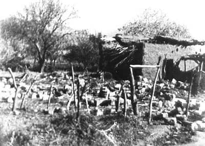
Al-Khisas, on a terrace in the northern Hula plain, was raided by a Haganah strike force on the night of 18 December 1947 — one of the first such operations of the war. Houses were blown up and about a dozen civilians killed, four of them children by Benny Morris's figures, ten including five children according to the New York Times. Those who stayed on were finally driven out by army trucks at midnight on 5 June 1949 and dumped on a hillside near Akbara.
Al-Na'ima
الناعمةDepopulated 1948
Al-Na'ima lay flat on the northwestern Hula plain, twenty-six kilometres from Safad, with a boys' elementary school, the shrine of a local sage called al-Shaykh al-Wayzi half a kilometre off, and 4,122 of its 4,450 Arab-owned dunums under irrigation or orchard. After the fall of Safad on 10–11 May 1948 its people, worn down by mortar fire and psychological warfare, left on 14 May. There is no account of what happened to the village afterwards, and today the site is hardly recognisable.
Al-Salihiyya
الصالحيةDepopulated 1948
Al-Salihiyya lay on the flat of the Hula plain where the Jordan meets Wadi Tur'an, twenty-five kilometres from Safad, an adobe village of 1,520 people whose living came from the papyrus of Lake Hula as much as from the land. In late May 1948 its young men wanted to hand over their arms and stay; the Haganah did not come to the meeting. It fell on 25 May in Operation Yiftach. The village has been obliterated and no trace of it remains.
Al-Zuq al-Tahtani
الزوق التحتانيDepopulated 1948
Al-Zuq al-Tahtani — the lower Zuq, distinguished from al-Zuq al-Fawqani above it — stood on a hill with Mount Hermon in view to the northeast, thirty kilometres from Safad, its 1,050 people working water-powered mills and 5,547 dunums of irrigated fruit. An Israeli report of 1948 said the villagers left on 11 May under the impact of the fall of Safad; Morris, who quotes it, does not say whether there was an attack or when troops entered. One house remains, in use as an office for an airstrip.
Alma
علماDepopulated 1948
'Alma stood in the heart of Upper Galilee ten kilometres from Safad, four kilometres from the Lebanese border, with a mosque, a school shared with al-Rihaniyya and 750 dunums of olives — the largest area under olives in the Safad subdistrict. Israeli units reached it on 30 October 1948, in the later stages of Operation Hiram, the day after the massacres at Safsaf and Jish six kilometres away. Its people had largely stayed put and had offered no resistance; Benny Morris records that they were uprooted and expelled all the same.
Ayn al-Zaytun
عين الزيتونDepopulated 1948
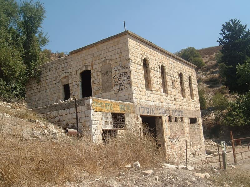
Ayn al-Zaytun stood a kilometre and a half north of Safad and was treated as its suburb; 820 people held 1,100 dunums in 1944/45. Palmach troops took it on 1 May 1948 as a prelude to the capture of Safad, and thirty-seven men held as prisoners were probably among some seventy people killed in a gully between the village and the city. The houses were blown up on 2 and 3 May in full view of Safad.
Dayshum
ديشومDepopulated 1948
Dayshum stood on rocky slopes above Wadi Fara twelve and a half kilometres from Safad, a village of 590 with three mills and gabled roofs. Some of its people were descended from Algerians who had fought beside 'Abd al-Qadir al-Jaza'iri against the French and came east after his banishment in 1847, and because some of their ancestors had been horsemen the villagers of Dayshum kept a keen interest in raising horses. Benny Morris writes that the village was already empty when Israeli forces entered on 30 October 1948, probably evacuated when news arrived of the massacres at Safsaf and Jish.
Farradiyya
الفراضيةDepopulated 1948
Al-Farradiyya stood on the southern slope of Mount Zabud eight kilometres from Safad, and held a model experimental farm of 300 dunums with an arboretum of 2,000 plants, run by a Palestinian agronomist trained at Montpellier, that bred fruit varieties and advised the farmers of two subdistricts. It was surrounded rather than assaulted in Operation Hiram on 30 October 1948, so many of its people stayed. On 15 December the Committee for Transferring Arabs from Place to Place endorsed a proposal to expel the 261 who remained there and at Kafr 'Inan; it was carried out in February 1949.
Fir'im
فرعمDepopulated 1948
Fir'im stood on the southeastern slope of Mount Kan'an four kilometres from Safad, a densely built village of 740 people with a council drawn from its families, a boys' school and two olive presses. On the night of 2 May 1948 it was sporadically mortared along with two other villages — the attacks were mounted, in the words of an Israeli military report, so that in the end the Arabs would flee. Some stayed: an intelligence report filed in June records that the village was evacuated on 26 May as the result of a direct assault.
Hunin
هونينDepopulated 1948
Hunin stood on Mount 'Amil above the Hula plain beside the Crusader castle of Chastel Neuf, and its people were Shia Muslims — one of a cluster of Shia villages in the Galilee panhandle. Most fled to Lebanon after a Palmach raid in May 1948, leaving about 400. In August the mukhtars offered to be citizens of Israel and were refused; on 2 September the army blew up twenty houses, killed the mukhtar's son and nineteen others, and expelled the rest. The castle is now a tourist attraction and the village school an agricultural warehouse.
Kafr Bir'im
كفر برعمDepopulated 1948
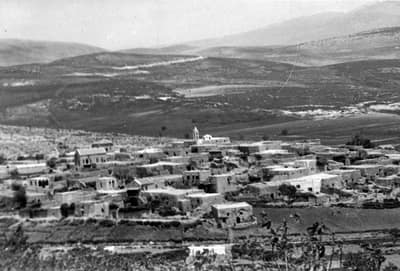
Kafr Bir'im was a Maronite stone-built village in the Upper Galilee, surrounded by gardens, olive groves, and vineyards. Its people were ordered out in November 1948 on a promise of return; instead the village was bombed in 1953, and only its church and bell tower still stand above the ruins.
Qaytiyya
قيطيةDepopulated 1948
Qaytiyya lay between the Hasibani and the Dan in the northern Hula plain, twenty-eight kilometres from Safad, with its own grain mill on the bank of the Dan and 4,465 of its 5,390 dunums under irrigation or orchard. Its people left on 19 May 1948 under the psychological-warfare campaign of Operation Yiftach — but not all of them. At midnight on 5 June 1949 army trucks encircled the village and its remaining residents were rounded up and dumped, with those of al-Ja'una and al-Khisas, on a bare hillside near Akbara.
Sa'sa'
سعسعDepopulated 1948
Sa'sa' stood at 875 metres in the upper Galilee with 1,130 people and 14,796 dunums in 1944/45. A Palmach raid on 15 February 1948 blew up houses in the night under orders to destroy twenty and kill as many fighters as possible; the New York Times reported eleven villagers killed, five of them small children. The village was taken by the Seventh Brigade on 30 October during Operation Hiram, and kibbutz Sasa was founded on the site in 1949.
Safsaf
صفصافDepopulated 1948
Safsaf, seven kilometres from Safad, was the first village taken in Operation Hiram and the site of one of its massacres. Israel Galili, formerly head of the Haganah national staff, listed fifty-two men tied with a rope, dropped into a well and shot, ten of them killed, and three cases of rape; villagers told Nafez Nazzal that about seventy men were blindfolded and shot one after another in front of them. Its 910 people held 7,391 dunums in 1944/45.
Jaffa
13 recordsAbu Kishk
أبو كِشْكDepopulated 1948
Abu Kishk began as the seasonal camping ground of the nomadic Arab Abu Kishk and became a village of 1,900 two kilometers northwest of the al-'Awja river, its houses clustered without pattern among citrus groves watered from artesian wells. It emptied before the Mandate ended, in the flight the Irgun's kidnapping of the leaders of neighboring al-Shaykh Muwannis set off at the end of March 1948. A fenced military manufacturing complex now covers the site.
Al-'Abbasiyya
العَبّاسِيَّةDepopulated 1948
Al-'Abbasiyya — al-Yahudiyya until its people renamed it in 1932 — was the largest village east of Jaffa, 5,650 people with a stone mosque, a twenty-one-meter minaret and the biggest village school in the subdistrict. The Irgun raided it on 13 December 1947, occupied it on 4 May 1948, lost it to an Arab counterattack, and Israeli forces took it back on 10 July during Operation Dani. Yehud and Ben-Gurion airport stand on its land; the mosque and the shrine of al-Nabi Huda still stand on the site.
al-Jammasin al-Gharbi
الجَمّاسِين الغربيDepopulated 1948
Al-Jammasin al-Gharbi, the western of Jaffa's two buffalo-raising Jammasin villages, had 1,080 people in 1944/45. The cited records give different dates for departure or occupation — 7 January, 26 January, 17 March, or only before 15 May 1948 — and do not reconcile them. Tel Aviv development took over the site; the sources disagree over whether Shikun Bavli counts as being on village land, and a 1992 survey recorded several Palestinian houses still standing.
al-Jammasin al-Sharqi
الجَمّاسِين الشرقيDepopulated 1948
Al-Jammasin al-Sharqi, the eastern of Jaffa's two buffalo-raising Jammasin villages, had 730 people in 1944/45. The cited records give different dates for departure or occupation — 7 January, 17 March, 1 April, or only sometime before 15 May 1948 — and do not reconcile them. Tel Aviv development engulfed the site, though a site description published in 1992 recorded several Palestinian houses still standing in the street grid.
Al-Khayriyya
الخيريةDepopulated 1948
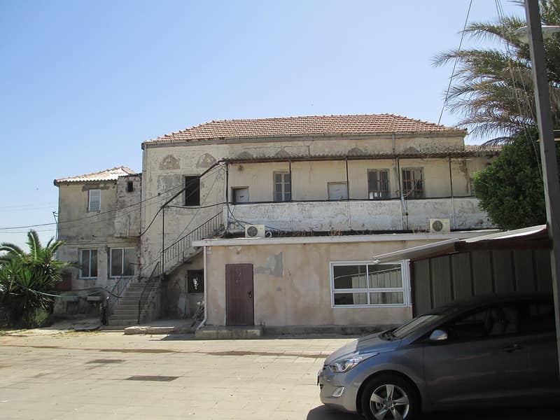
Al-Khayriyya — the Assyrian Banai Berka and Roman Beneberak, renamed 'the good, the giving' under the Mandate to distinguish it from Bnei Brak — dug trenches against attack from December 1947 before the Alexandroni Brigade seized it on 29 April 1948 in the encirclement of Jaffa. A handful of houses and a school survive within Giv'atayim's suburbs.
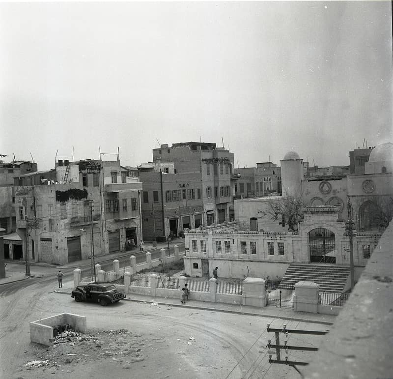
Al-Manshiyya
المنشيةDepopulated 1948
Al-Manshiyya was the mixed Arab-Jewish quarter of Jaffa on the seafront north of the harbor. It fell to the Irgun in late April 1948 after a battle that drew in British armor, and its ruined streets were erased for a planned business district; the Hassan Bek Mosque and two other buildings are all that remain.
Al-Mas'udiyya
المَسْعُودِيَّةDepopulated 1947
Al-Mas'udiyya, also called Summayl, stood five kilometres north of Jaffa between the sea and the al-'Awja River. The 1944/45 survey counted 850 people; Zochrot lists 990 for 1948. Although the village had agreed a truce with the Haganah late in 1947, PalQuest, citing Benny Morris, says its people left on 25 December amid increasing attacks on Arab villages. The area is now part of Tel Aviv; Khalidi's 1992 survey recorded one deserted house, trees and the Summayl bridge.
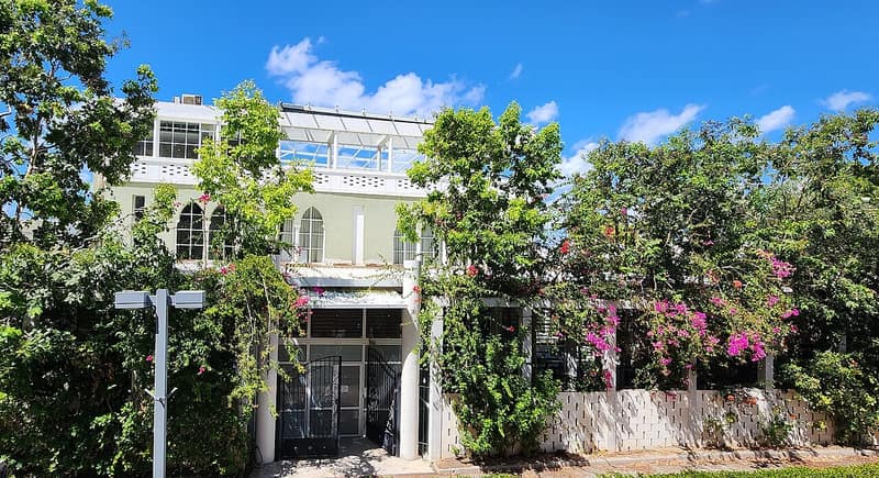
Al-Shaykh Muwannis
الشيخ مونّسDepopulated 1948
Al-Shaykh Muwannis stood on a sandstone rise north of the Awja river, a citrus village of 1,930 people holding 15,972 dunums in 1944/45, whose leaders had reached a truce understanding with the Haganah. In March 1948 the Irgun kidnapped five of its notables; the village emptied on 30 March. Tel Aviv University stands on its land, and the sheikh's Green House is the university's faculty club.
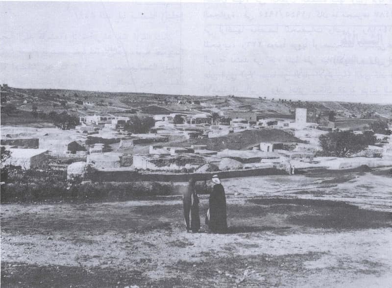
Beit Dajan
بيت دجنDepopulated 1948
Beit Dajan — biblical Beth Dagon — stood at the crossroads south of Jaffa, a citrus village of nearly four thousand people with two schools. Raided through the winter of 1948, it fell in Operation Hametz at the end of April; a moshav took its name and its lands, and one surviving house serves as a synagogue.
Fajja
فَجَّةDepopulated 1948
Fajja stood a kilometer east of Petah Tikva and was attacked from May 1947, when a Palmach unit blew up its coffeehouse. Struck repeatedly by the Haganah and the Irgun through the early months of 1948, it was down to a few dozen residents by May; Haganah intelligence officers resolved on 9 May to expel what they called a bothersome element, and the last villagers left on 15 May under what military intelligence described as a whispering operation. One house and a pond remain.
Kafr 'Ana
كَفْر عانَةDepopulated 1948
Kafr 'Ana — possibly the Canaanite Ono of the Karnak list, Byzantine Onous — was a village of 2,800 eleven kilometers east of Jaffa, living on cereals, citrus, poultry and bees. It was taken during Operation Hametz at the end of April 1948, and on 13 September it was one of fourteen villages Ben-Gurion asked the cabinet's permission to destroy. No trace of its houses can be made out on the site.
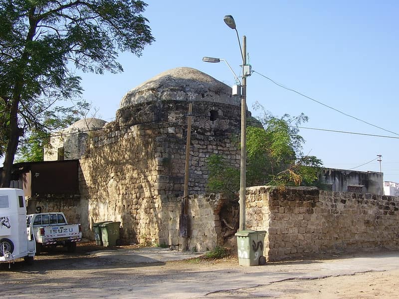
Salama
سلمةDepopulated 1948
Salama, the largest village on Jaffa's eastern approaches and home of the shrine of the Prophet's companion Salama Abu Hashim, fought off attack after attack from December 1947 — the Haganah's own history calls its December assault 'the first attack on an Arab village' — before falling on 29 April 1948. Its mosque, shrine, and shuttered houses stand inside Tel Aviv's sprawl.
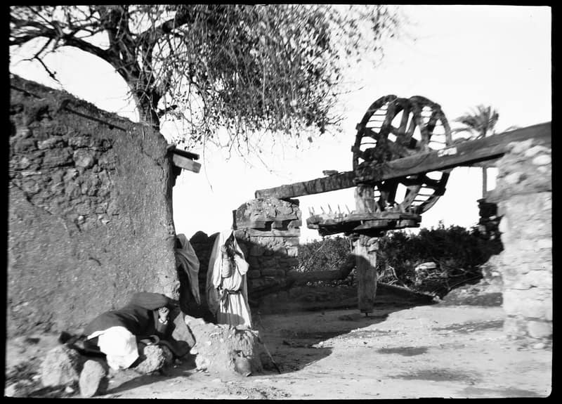
Yazur
يازورDepopulated 1948
Yazur — the Azuru of Sennacherib's annals and the birthplace of a Fatimid vizier — was bombed and raided for months from December 1947 before falling at the end of April 1948, as Operation Hametz encircled Jaffa. Two shrines and scattered houses still stand among the apartment blocks of Azor and Holon.
Hebron
10 records'Ajjur
عَجُّورDepopulated 1948
'Ajjur was the largest village of the Hebron foothills — 3,730 people in 1945, two mosques, two schools, and a Friday market that drew merchants from across Palestine. The Giv'ati Brigade took it in October 1948; three houses remain, and five Israeli settlements stand on its 58,000 dunums.
Al-Dawayima
الدوايمةDepopulated 1948
Al-Dawayima was one of the largest villages of the Hebron hills, with 3,710 people and more than 60,000 dunums of land in 1944/45. On 29 October 1948, during Operation Yoav, the 89th Battalion of Israel's Eighth Armoured Brigade entered the village and killed civilians in the houses, in the mosque and at the mouth of a cave. The moshav of Amatzya was built on its land in 1955.
Al-Qubayba
القُبَيْبَةDepopulated 1948
Al-Qubayba was a village of 1,060 people on a hilltop in the Hebron foothills, beside the mound of ancient Lachish. It was taken on 28 October 1948, the day of the massacre at al-Dawayima a short distance away. Cactus and a handful of olive trees are all that mark the site.
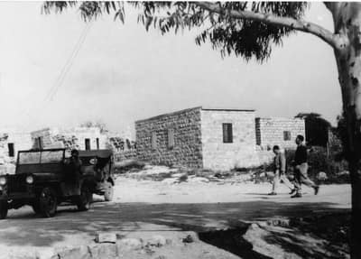
Bayt Jibrin
بيت جبرينDepopulated 1948
Bayt Jibrin, the Roman city of Eleutheropolis, dominated the crossroads of the southern hills until October 1948, when it was captured during Operation Yoav. Its people fled to the Hebron hills and refugee camps such as al-Fawwar and Aida; kibbutz Beit Guvrin rose on its lands.
Bayt Nattif
بيت نتِّيفDepopulated 1948
Bayt Nattif stood on a flat-topped ridge in the western Hebron hills, 2,150 people in 1945 living in a star of quarters around a mosque and a school. The Har'el Brigade took it in October 1948; the site is bulldozed rubble, six steel beams, and two open graves with the bones visible.
Dayr al-Dubban
دَيْر الدُبّانDepopulated 1948
Dayr al-Dubban was a village of 730 people on a slope at the end of the Hebron foothills, farming two grain crops a year on land it divided in halves and rested by turns. The Giv'ati Brigade took it on 23–24 October 1948. Its old roads can still be traced through the thorn.
Dayr Nakhkhas
دَيْر نَخّاسDepopulated 1948
Dayr Nakhkhas was a village of 600 people on a limestone hilltop above Wadi Bayt Jibrin, whose children walked to school in the neighbouring villages. It was occupied on 29 October 1948 — the day of the massacre at al-Dawayima, which Morris records as setting off a mass flight from the area around it.
Kudna
كُدْناDepopulated 1948
Kudna was a village of 450 people built along the track from Bayt Jibrin to Dayr al-Dubban, with the walls of a Crusader castle rising in the middle of it. The Giv'ati Brigade took it on 22–23 October 1948 and, according to Morris, expelled everyone who had stayed.
Tall al-Safi
تلّ الصافيDepopulated 1948
Tall al-Safi stood on a mound above the plain that had been inhabited since the third millennium BC and was still inhabited in 1948, when 1,290 people lived there. The Giv'ati Brigade was ordered to take it and to expel the refugees camped around it; the order was carried out on 9–10 July 1948.
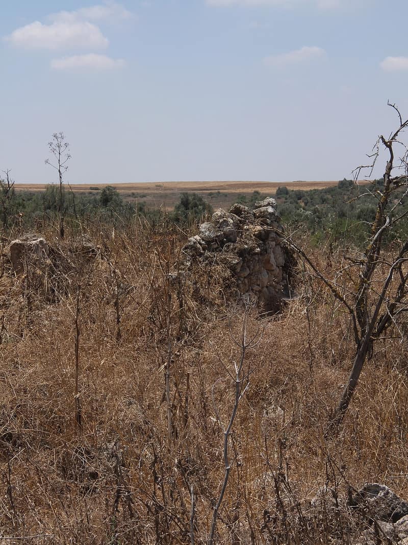
Zikrin
ذكرينDepopulated 1948
Zikrin grew grain where the southern coastal plain meets the foothills of the Hebron mountains. The Giv'ati Brigade occupied it in late October 1948 during Operation Yoav; its site, known as Khirbet Dhikrin, is overgrown scrub marked by broken terraces, olive and carob trees, and the rubble of houses.
Tiberias
6 recordsGhuwayr Abu Shusha
غوير أبو شوشةDepopulated 1948
Ghuwayr Abu Shusha stood on a low hill two kilometres west of Lake Tiberias, 150 metres below sea level, with 1,240 Arab inhabitants in 1944/45 and the shrine of a Shaykh Muhammad. Forty Jewish militiamen attacked it at three in the morning on 3 January 1948, killing the mukhtar's son and a woman. Benny Morris describes an exodus in panic on 21 and 28 April with no direct attack; the villagers, interviewed a generation later in 'Ayn al-Hilwa camp, described the Palmach taking the village in a surprise attack at dawn on 24 April.
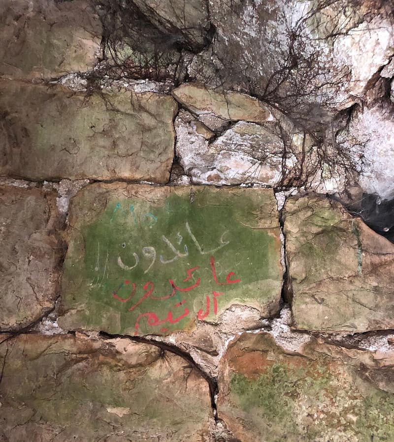
Hittin
حطّينDepopulated 1948
Hittin stood below the Horns of Hattin, where Salah al-Din defeated the Crusader armies in 1187, eight kilometres from Tiberias. Its 1,190 Muslim inhabitants held 22,764 dunums in 1944/45. The Seventh Brigade took the village on 17 July 1948 during Operation Dekel; those who tried to return were fired on, and most ended in Lebanon. The mosque and the shrine of al-Nabi Shu'ayb still stand.
Khirbat al-Wa'ra al-Sawda'
خربة الوعرة السوداءDepopulated 1948
Khirbat al-Wa'ra al-Sawda' stood on a plateau of volcanic rock above Wadi al-Hamam and Lake Tiberias, seven and a half kilometres from Tiberias, its people mostly of the 'Arab al-Mawasi. No account of its capture was ever published — Khalidi could only set out two possibilities. What is recorded is an oral report from its people that in late October or early November 1948 fifteen men were rounded up, taken to Eilabun and shot; the soldiers came back and shot the bodies again in the head. Fourteen died.
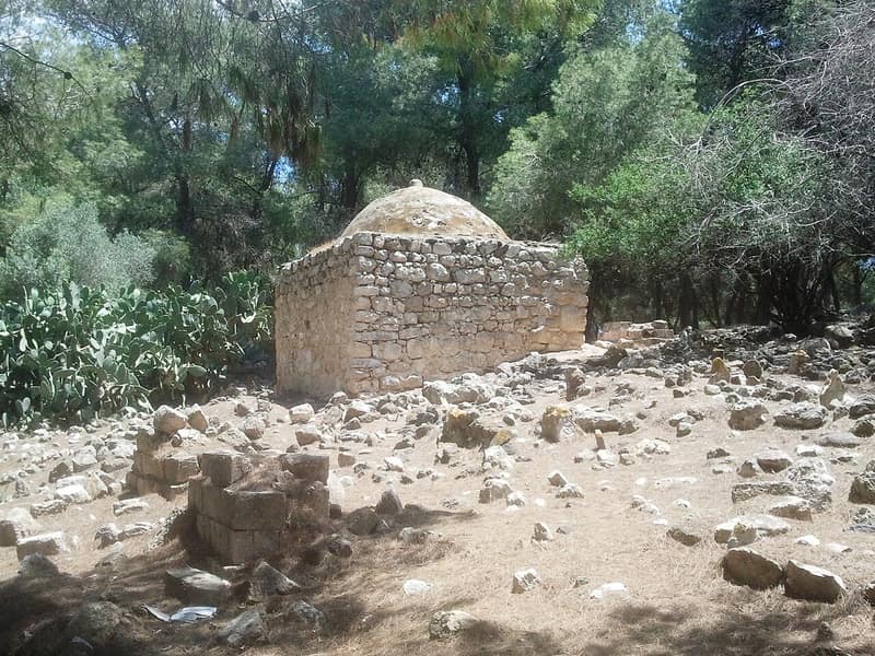
Lubya
لوبياDepopulated 1948
Lubya, one of the largest villages of the Tiberias district, stood on a rocky hill over the Nazareth road and twice beat back attacks before its people fled the fall of Nazareth in July 1948. Its ruins lie under the JNF's Lavi and South Africa pine forests — a landscape of erasure that refugee historians have made one of the best-documented of any village.
Nasir al-Din
ناصر الدينDepopulated 1948
Nasir al-Din was a village of ninety people three kilometres from Tiberias, attacked by two platoons of the Golani Brigade on 11 or 12 April 1948 as a demonstration intended to break the nerve of the city. Accounts of the dead range from eight men, one woman and an unspecified number of children in a British communiqué to ten in Arif al-Arif's account. Tiberias fell six days later; houses of the city now stand on the site.
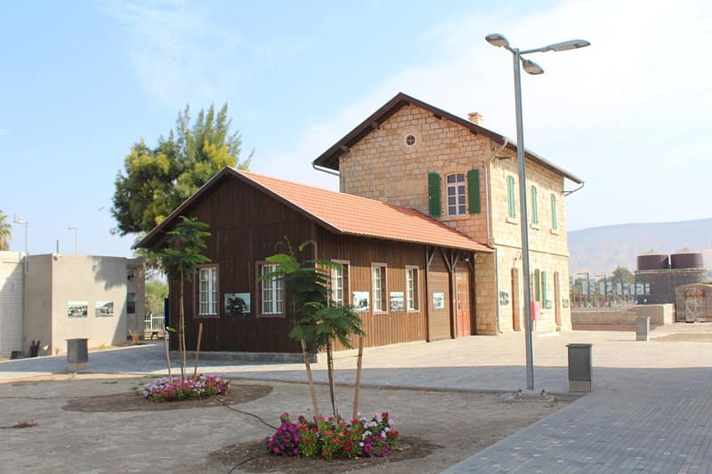
Samakh
سمخDepopulated 1948
Samakh was the largest village of the Tiberias subdistrict, 3,460 people on the southern shore of Lake Tiberias with a station on the line to the Hijaz railway and the border crossing to Mandate Syria. The Golani Brigade took it on 28 April 1948, ten days after the fall of Tiberias; Syrian and Iraqi forces briefly retook it in May. Only the ruins of the railway station and a water reservoir remain.
Tulkarm
5 records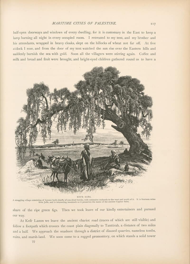
Kafr Saba
كفر صاباDepopulated 1948
Kafr Saba, a village on the coastal plain southeast of Qalqilya with shrines to two prophets, had pledged peace with its Jewish neighbors in December 1947 — yet the Alexandroni Brigade seized it two days before Israel declared statehood, driving its people toward Qalqilya. Modern Kfar Saba has spread over its lands, but old houses, the two shrines, and the cemetery remain.
Miska
مِسْكَةDepopulated 1948
Miska was a Tulkarm-subdistrict village of 880 Palestinian residents in 1944/45 on a sandy rise beside a wadi. Some tables give 1,060 people because they include 180 Jewish residents of Sde Warburg in the same statistical unit. Alexandroni Brigade units expelled Miska's inhabitants on 20–21 April 1948; the village was then demolished, and Zochrot records that its surviving school was destroyed in July 2006.
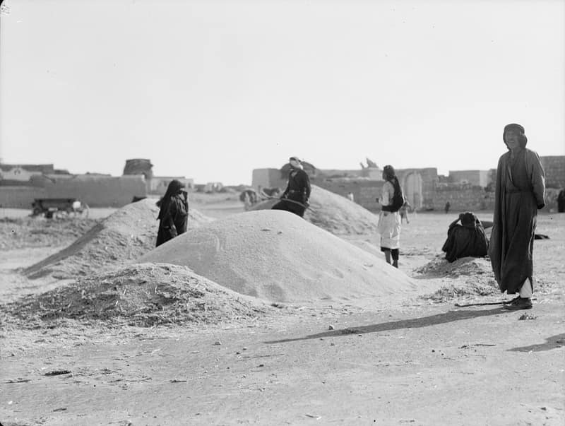
Qaqun
قاقونDepopulated 1948
Qaqun, crowned by a Crusader-Mamluk fortress northwest of Tulkarm, was stormed by the Alexandroni Brigade in June 1948 in one of the bloodiest battles of the war, fought trench-to-trench against Iraqi defenders. Some villagers held on in their homes into 1949; the fortress and the school still stand above its orchards.
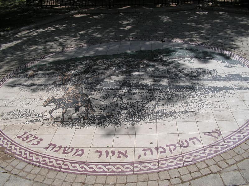
Umm Khalid
أم خالدDepopulated 1948
Umm Khalid stood on a sandstone hill less than two kilometres from the sea, on the site of the Crusader Castellum Rogerii Langobardi, with 970 people and 2,894 dunums in 1944/45. Netanya was founded on its land in 1929 and grew around it. An Israeli intelligence report records that the village was evacuated on 20 March 1948 out of a general sense of fear; villagers described a month of blockade beforehand.
Wadi al-Hawarith
وادي الحوارثDepopulated 1948
The people of Wadi al-Hawarith had farmed some 30,000 dunums of the coastal plain for three and a half centuries as tenants when, in 1929, the Jewish National Fund bought the land at a court auction from absentee heirs. Their resistance to eviction became the central land case of Mandate Palestine; the courts ruled against them in 1932 and the first expulsions followed in June 1933. The remaining villagers, 1,330 in 1944/45, left on 15 March 1948.
Beisan
3 recordsAl-Ghazzawiyya
الغزاويةDepopulated 1948
Al-Ghazzawiyya spread over a wide area of the Beisan valley two kilometres from Baysan, its people of the al-Ghazzawiyya Bedouin tribe living in both houses and tents and known through the region for their wool and dairy. It came under Israeli control on 20 May 1948, the week after the Golani Brigade took Baysan; the History of the Haganah records that Golani's Fourth Battalion "cleansed the entire Beisan valley of bedouins." No physical evidence indicates that the village ever existed.
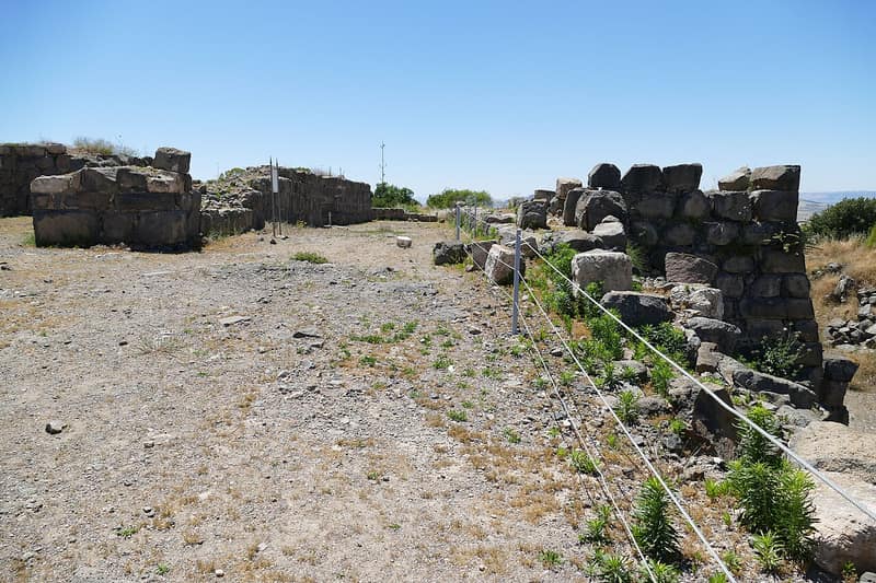
Kawkab al-Hawa
كوكب الهواDepopulated 1948
Kawkab al-Hawa was built inside the walls of the Crusader fortress of Belvoir, three hundred metres above the Jordan valley eleven kilometres north of Baysan. Its 300 people held 9,949 dunums in 1944/45. It was attacked on 16 May 1948, changed hands during the Iraqi advance, and was finally held by the Golani Brigade. The Arab village was erased; the castle was excavated and turned into a tourist site.
Sirin
سيرينDepopulated 1948
Sirin lay seventeen kilometres north of Baysan, a village of 810 Muslims and Christians holding 28,445 dunums in 1944/45, with Byzantine mosaics and a Greek inscription among its houses. Units of the Golani Brigade occupied it on 12 May 1948, the day Baysan fell. No Israeli settlement was built on its land; a cemetery and a single house survive.
Nazareth
3 recordsAl-Mujaydil
المجيدلDepopulated 1948
Al-Mujaydil stood on the Nazareth–Haifa road six kilometres southwest of Nazareth, the third largest village of its subdistrict with 1,900 people and 18,836 dunums in 1944/45, and the second largest olive producer in the district. A Golani Brigade unit took it on 14 or 15 July 1948 during Operation Dekel; the village was emptied and razed, and Migdal ha-Emeq was built on its land in 1952.
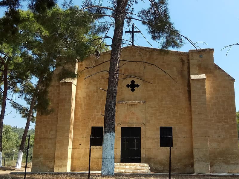
Ma'lul
معلولDepopulated 1948
Ma'lul lay six kilometres west of Nazareth, a village of 490 Muslims and 200 Christians who had lost title to most of their land through a twenty-year legal battle with the Jewish National Fund before 1948. Israeli forces took it on 15 July 1948 during Operation Dekel and levelled the houses. Its mosque and two churches still stand inside a JNF pine forest.
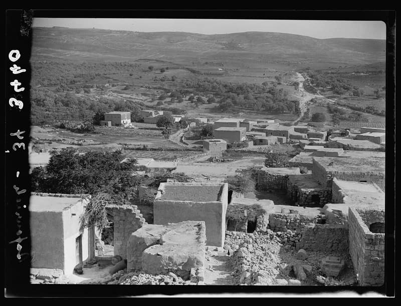
Saffuriyya
صفوريةDepopulated 1948
Saffuriyya was the largest village of the Nazareth district — a place layered over ancient Sepphoris — until it was bombed and occupied in July 1948. Its people scattered to Nazareth and to refugee camps in Lebanon; the moshav of Zippori and an archaeological park now occupy its lands.
Ramle
2 recordsAl-Haditha
الحَدِيثَةDepopulated 1948
Al-Haditha stood above the west bank of Wadi al-Natuf, a village of 760 with a mosque, a small market and a school founded in 1924. Israeli forces occupied it on 12 July 1948 during the first stage of Operation Dani; two months later its partial demolition went to a special ministerial committee for approval. Khalidi's 1992 site survey recorded rubble, the widened village road and one sealed house among olive and eucalyptus trees.
Al-Tina
التِينَةDepopulated 1948
Al-Tina — ‘the fig tree’ — stood on the flat southern coastal plain, twenty and a half kilometres south of Ramla. The April 1945 government figures record 750 residents and 7,001 dunums; Wikidata records 755, citing a 1987 Arabic gazetteer. The village was attacked and occupied as Operation An-Far opened around 8–9 July 1948. PalQuest records no Israeli settlement on its land, and a site description published in Khalidi's 1992 All That Remains found the village buildings effaced beside an orange grove, a road and the railway.
Jenin
2 recordsAl-Lajjun
اللجّونDepopulated 1948
Al-Lajjun stood beside Tell al-Mutasallim — ancient Megiddo — at the southwestern edge of Marj Ibn Amir, on the site of the Roman camp of the Sixth Legion. Repopulated in the late nineteenth century by families from Umm al-Fahm, it counted 1,103 people in 1944/45 and was taken by the Golani Brigade at dawn on 30 May 1948. Kibbutz Megiddo was built on its lands from 1949; most of its people returned to Umm al-Fahm.
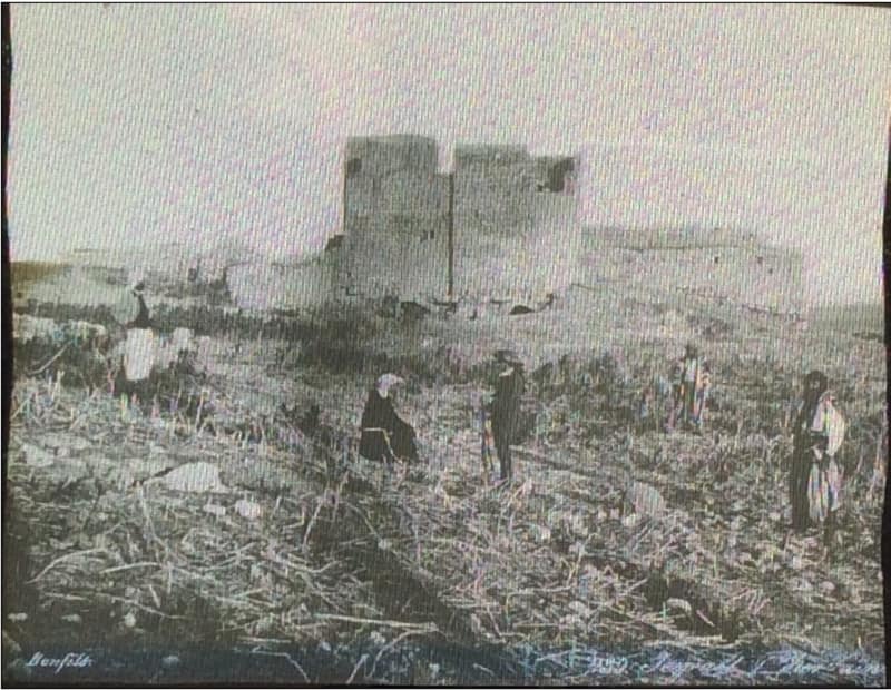
Zir'in
زرعينDepopulated 1948
Zir'in stood on a spur above Marj Ibn Amir, on the site of biblical Jezreel and beside the spring of Ayn Jalut where Baybars turned back the Mongols in 1260. Its 1,420 people held 23,920 dunums in 1944/45. The Fourth Battalion of the Golani Brigade took the village on 28 May 1948; the kibbutz of Yizre'el was founded on its northwestern side the same year.
Every village here is also a place people are still from. Explore the full survey record atPalestine Open Maps, the village-by-village testimony atPalestine Remembered, or read the definitive record in Walid Khalidi'sAll That Remains.